Where to go in Reunion Island: 24 towns and places to visit
A French island in the Indian Ocean, east of Madagascar, just 2,512 km² yet packed with three cirques, two summits over 2,500 m, an active volcano and 25 km of protected lagoon. No wonder it's nicknamed the “intense island”. This guide sorts its 5 zones, towns and must-see places by type of trip and how long you have.
5 geographic zones24 municipalities covered3 cirques + 2 summits7 days min. recommended
Quick facts
Reunion Island in 8 figures
Area
2,512 km², 70 km across
Municipalities
24 municipalities across 5 zones
Cirques
3 (Mafate, Cilaos, Salazie)
Summits over 2,500 m
2 (Piton des Neiges, Fournaise)
Dry season
May to November (southern winter)
Protected lagoon
25 km of west coast, l'Hermitage to Saint-Leu
UNESCO heritage
Parc national des Hauts, 40% of the island
Round the island
207 km of road, about 4 hours without stopping
Reunion Island measures 70 km at its widest. In 4 hours of non-stop driving, you can go right around it via the coastal road and the Route des Tamarins. But this is an island to take slowly, stopping along the way: mountains, volcano, lagoon, Wild South, lush east. Every zone deserves its own time.
The must-sees
Eight places not to miss on the island
The pillars of a first trip to Reunion Island. Three cirques, two summits, the west coast lagoon, Le Maïdo, Saint-Denis. For each one, the essentials to remember and a link to the detailed guide.
Hauts · west
Cirque de Mafate
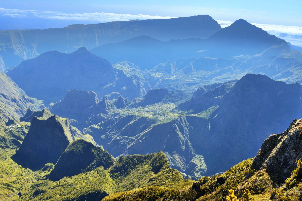
The cirque with no road, reachable only on foot or by helicopter. Seven inhabited îlets (hamlets), more than 140 km of marked trails. The island's most iconic hiking ground, part of a UNESCO World Heritage site.
Highlights: 2 to 5-day hikes, stays with locals, views from Le Maïdo
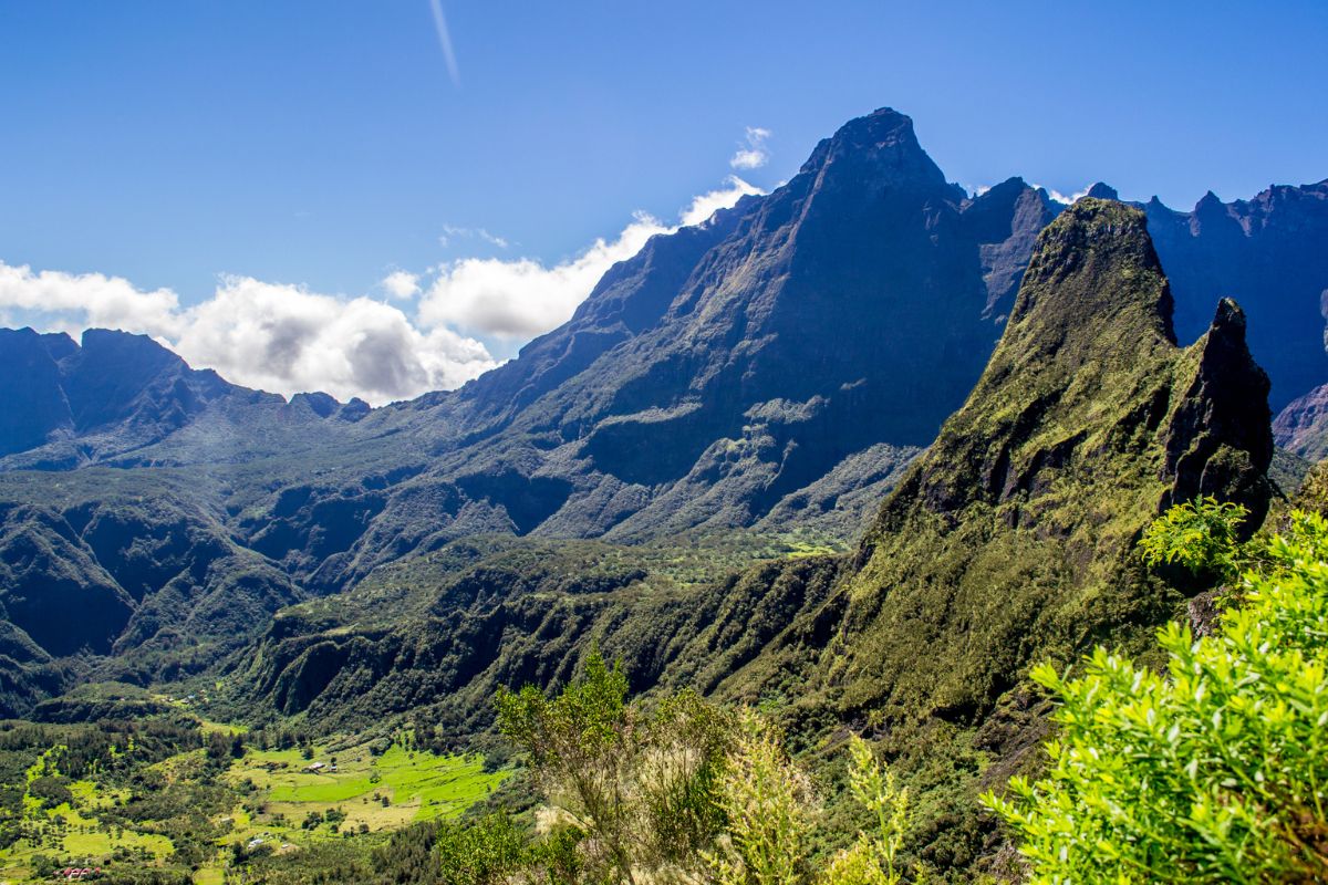
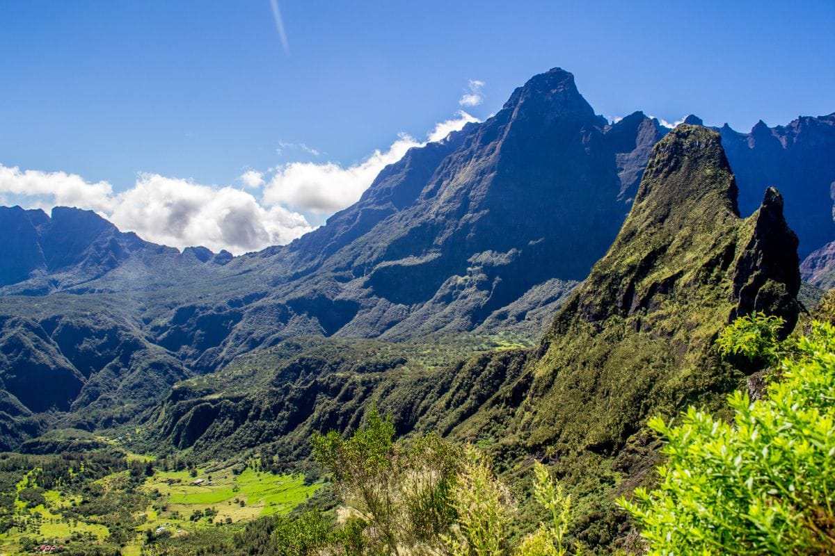
A thermal cirque you climb into, reached via the famous 420 bends from Saint-Louis. A mountain village at 1,200 m, thermal baths, AOP wines and lentils, via ferrata, Fleur Jaune canyoning, a 2-day ascent of Piton des Neiges.
Highlights: Thermal baths, AOP lentils, canyoning, via ferrata, Piton des Neiges base
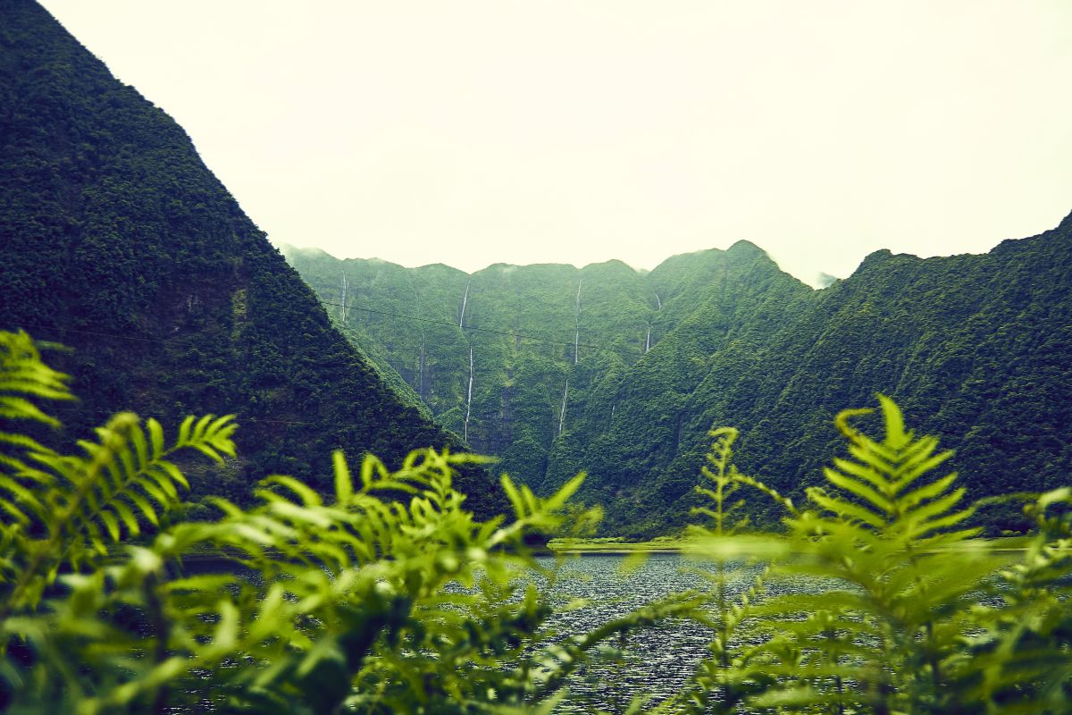
The greenest and wettest of the three cirques. The Creole village of Hell-Bourg, one of the officially listed 'Most Beautiful Villages of France', waterfalls galore (Voile de la Mariée), primary forests, the scenic road to Mares à Voile.
Highlights: Hell-Bourg listed village, Voile de la Mariée waterfall, primary forests
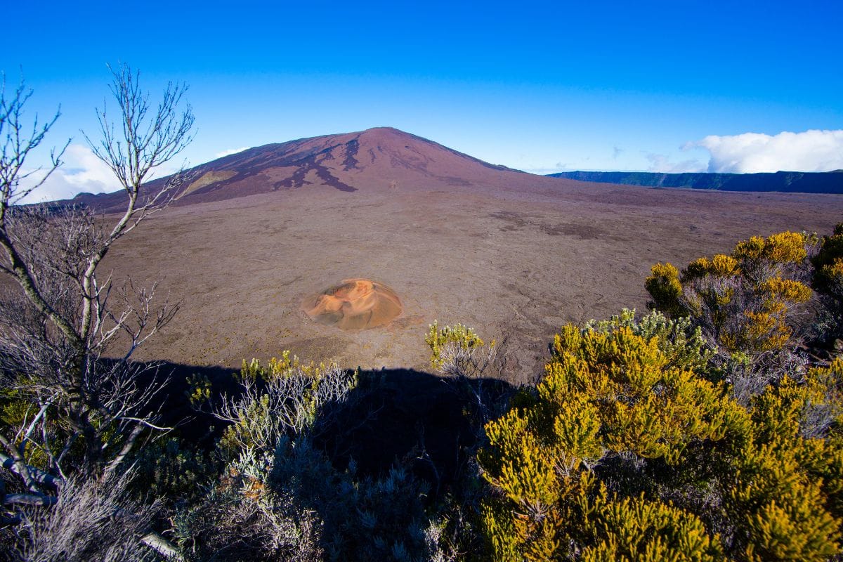
One of the most active volcanoes on the planet, its summit reaching 2,632 m. Access via the Route du Volcan forest road to Pas de Bellecombe (2,311 m), then a 5-hour round trip hike to the Dolomieu crater. A lunar landscape on the Plaine des Sables approach.
Highlights: Pas de Bellecombe to Dolomieu trail, 5-hour round trip, active crater views
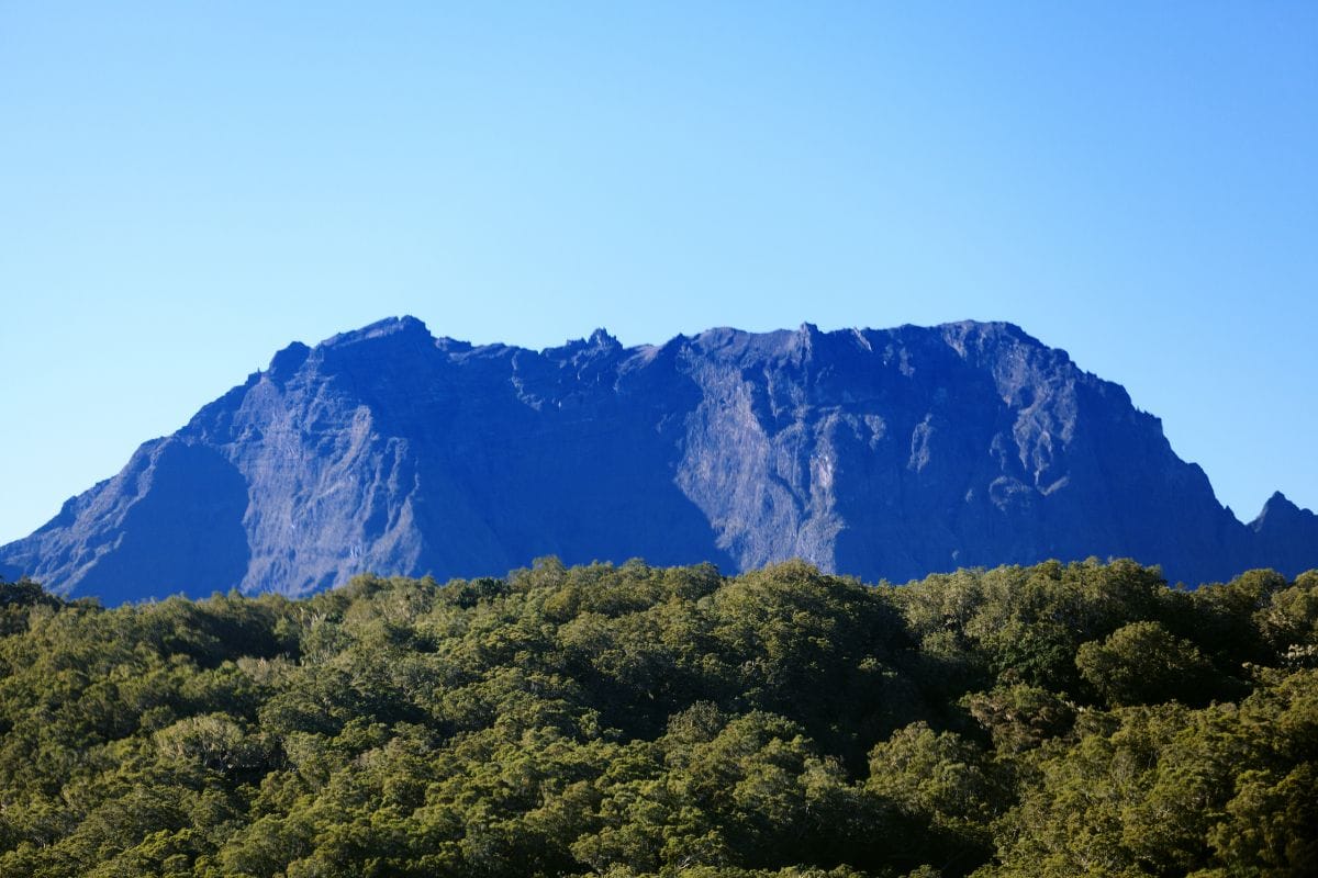
The roof of the Indian Ocean at 3,070 m. The classic 2-day ascent with a night at the Caverne Dufour hut, sunrise at the summit. Three access routes: Cilaos (the most direct), Bourg-Murat (Plaine des Cafres) or Hell-Bourg. A real commitment, but achievable for regular hikers.
Highlights: 2-day ascent, sunrise at 3,070 m, a sea of clouds
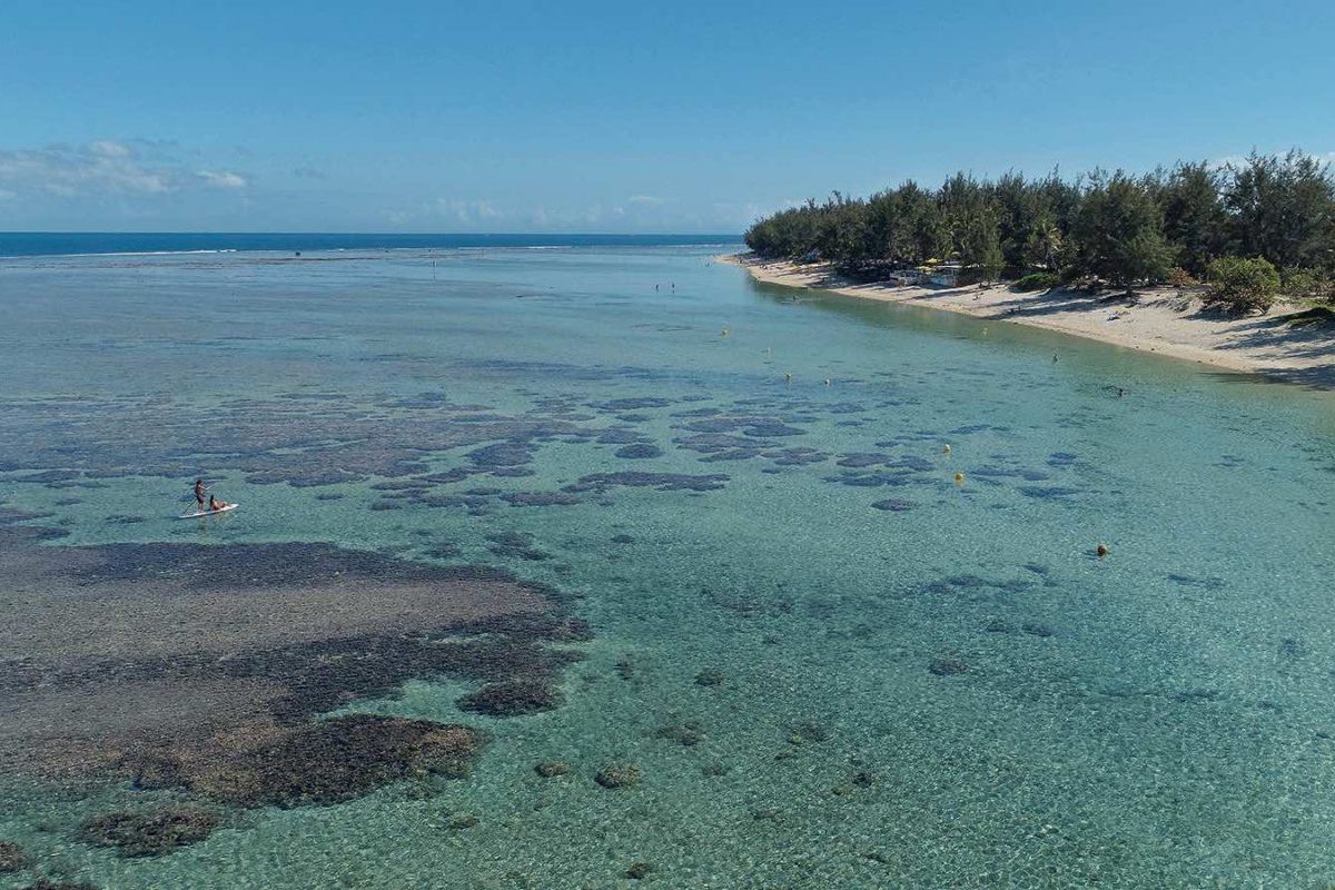
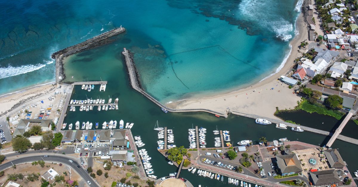
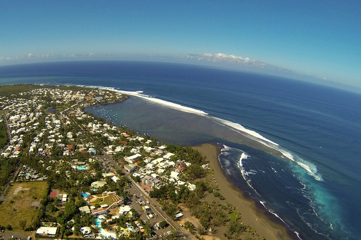
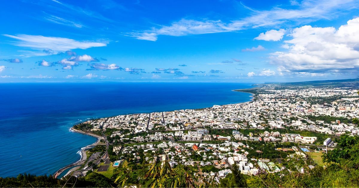
The Reunion Island postcard: 25 km of lagoon protected by the coral reef, from l'Hermitage to Saint-Leu. Saint-Gilles-les-Bains is the main seaside resort (marina, beaches, nightlife). Snorkelling, paddleboarding, clear kayaking, turtle watching, premium diving at Saint-Leu.
An iconic viewpoint at 2,200 m overlooking the Mafate cirque. Reachable by car via the forest road from Saint-Paul. A legendary sunrise over a sea of clouds, the starting point for the Grand Bénare hike, horse rides through the cryptomeria forest.
Highlights: 2,200 m viewpoint, sunrise over Mafate, forest road
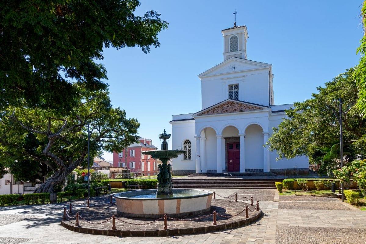
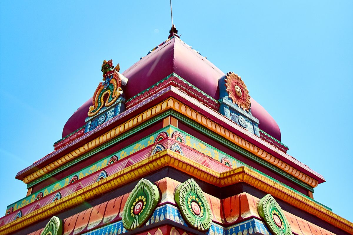
The island's administrative and cultural capital, population 150,000. Preserved colonial heritage (the cathedral, the Jardin de l'État, the former prefecture building), the Petit Bazar market, the Noor-e-Islam mosque, the Kalikambal Tamil temple. The logical first stop for anyone landing at Roland Garros airport.
Highlights: Colonial heritage, Jardin de l'État, Petit Bazar market
Reunion Island breaks down into 5 major geographic zones
The seaside west coast and its lagoon, the volcanic Wild South, the lush and humid east, the north with the capital, and the Hauts (the mountainous interior) with the cirques and the volcano. Each zone has its own climate, culture, specialities and highlights. Getting to grips with this layout is the first step to planning a trip that flows.
Seven days lets you cover three zones, ten days four, fourteen days the whole island. Here's the detail on each zone, with its towns, climate, specialities and signature sights.
Zone 1 · The postcard
West coast and lagoon
25 km of lagoon protected by the coral reef, from Boucan Canot to Saint-Leu. The island's driest climate, clear skies year-round, guaranteed sunshine. This is the main tourist hub, with seaside resorts, marinas and most of the hotels.
Season: Year-round, best May to November
Access: 30-60 min from Roland Garros airport via the coastal road
Saint-Paul
A town of history and markets. The Friday and Saturday morning street market is one of the largest in the Indian Ocean. Sitarane's grave, the seafront cemetery, and the road to Mafate starts from here.
Largest street market
Road to Le Maïdo
Seafront cemetery
Saint-Gilles-les-Bains
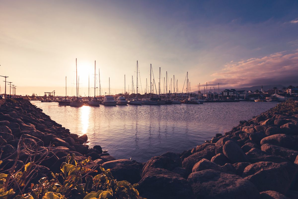
The island's main seaside resort. A marina, Roches Noires and Boucan Canot beaches, a lively nightlife scene, the west coast's water sports hub. The departure point for whale-watching trips, diving and catamaran cruises.
The widest, most peaceful beach on the west coast lagoon, separated from Saint-Gilles by the Hermitage bay. Trou d'Eau, crystal-clear water, clear kayaking, paddleboard schools, a family atmosphere away from the bustle.
The paragliding capital, with the coast just above, a premium diving club, and a lively Monday street market. The legendary Spot de Saint-Leu surf break for experienced surfers, beaches that are rockier than up north.
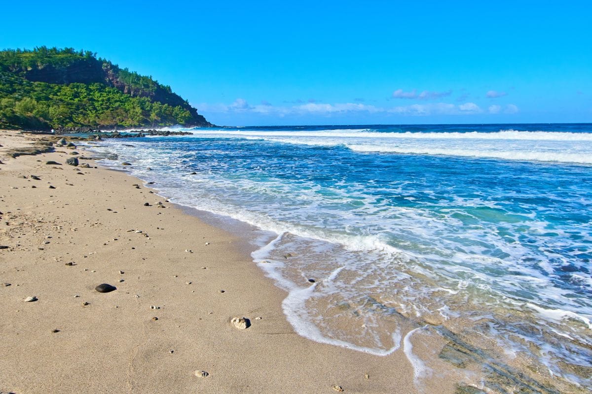
A volcanic black sand beach, a state-owned casuarina forest, a sinkhole, tree-top adventure courses. A different vibe from the classic lagoon, wilder and more natural. The natural corridor between the west coast and the Wild South.
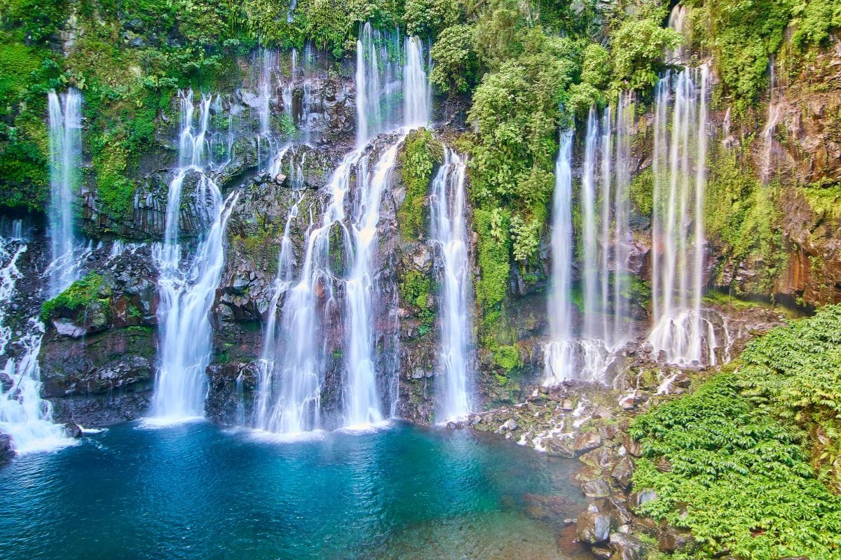
The other Reunion Island, more authentic and unspoilt. Spectacular 2004 and 2007 lava flows, black sand beaches, the Grand Galet waterfall at Langevin, Saint-Philippe vanilla, the Anse des Cascades. A wetter climate than the west, contrasting landscapes.
Season: Mainly May to November, muddy trails in the wet season
Access: 1 hr to 1 hr 30 from Saint-Denis via the Route des Tamarins
Saint-Pierre
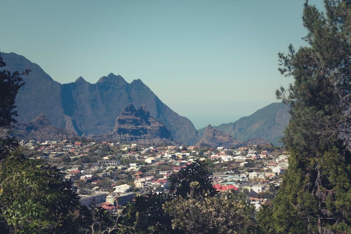
The island's second town, a sub-prefecture, a lively Creole atmosphere. A bustling seafront, a Saturday morning street market, nightlife, theatres and culture. A practical base for exploring the volcano and the Wild South.
The great Wild South. Cap Méchant with its raging ocean against black lava, the Langevin river with its succession of waterfalls, Manapany-les-Bains, the Wild South road running alongside the lava flows. A playground for lovers of raw nature.
The gateway to the volcano. Le Tampon in town, Plaine des Cafres at altitude (1,600 m), Bourg-Murat as the volcano hub. A cool climate, pastures, geraniums, strawberries and tomatoes under cultivation. The starting point for Piton de la Fournaise and Piton des Neiges hikes via Bloc.
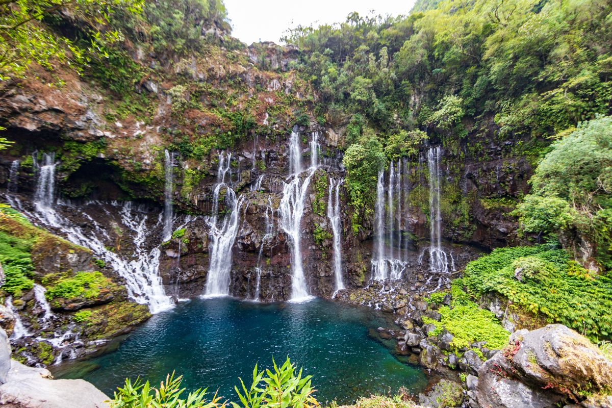
A steep-sided valley in the south, a succession of waterfalls including the Grand Galet (the iconic jump spot), freshwater swimming pools at 22-24°C. Langevin canyoning, a scenic road along the river, a rainforest atmosphere.
Grand Galet waterfall
Freshwater swimming
Canyoning
Zone 3 · Lush and humid
Lush East
Reunion Island at its most lush, humid and abundant. Exotic fruit orchards, vanilla farms, rivers and waterfalls, the Bébour-Bélouve primary forest, the Anse des Cascades. The island's most humid climate, green landscapes year-round, and little tourist traffic.
Season: Year-round, more pleasant April to November
Access: 1 hr from Saint-Denis via the coastal main road
Saint-Benoît
The capital of the east, a fishing port, a water sports hub. Grand-Étang and its Bras d'Annette waterfalls, the Rivière des Marsouins for rafting, a horse-riding farm, the Sainte-Anne vanilla farms. Authentic Creole cooking at the market.
The Niagara waterfall, Bassin Bœuf (swimming and horse rides), the Délices waterfall, a former rum distillery. A municipality with authentic charm, low on tourists but rich in natural and industrial heritage.
The island's Tamil capital, the Kalikambal temple at Saint-André, the Rivière du Mât distillery, a Sunday morning market. A strong Indian cultural atmosphere, Creole-Indian cuisine, spiced goat curry as a speciality.
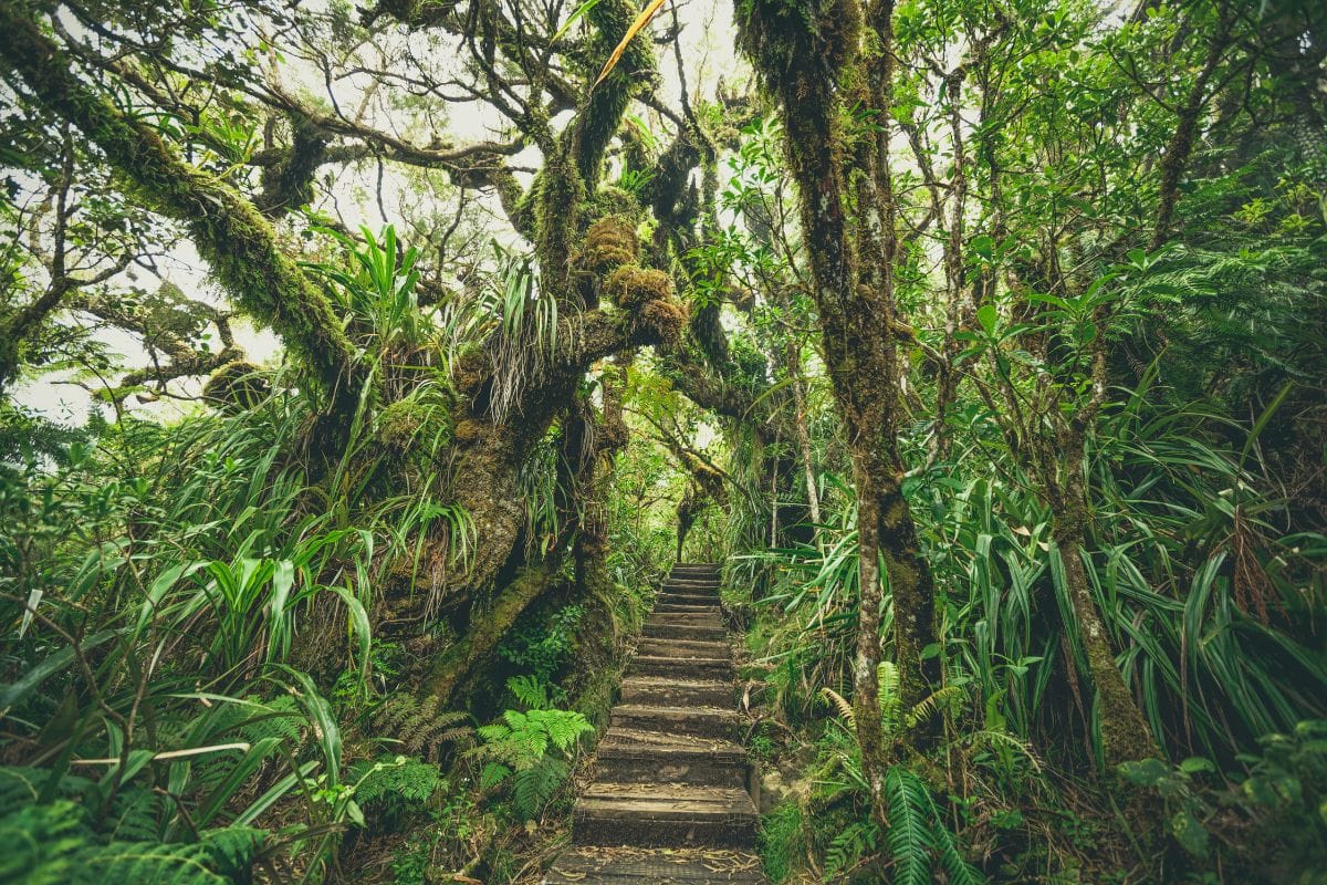
A mountain village (1,100 m) between the east and the highlands. The gateway to the Bébour-Bélouve primary forest, the Biberon waterfall, the Trou de Fer hike. A cool, humid climate, frequent mist, a lush mountain atmosphere.
Every traveller's arrival point on the island. Roland Garros airport in Sainte-Marie, the capital Saint-Denis with its colonial heritage, markets and monuments. The logical starting point for a stay, a practical base for the first few days.
Season: Year-round, warmer in the wet season (November to April)
Access: Roland Garros international airport, the base for every arrival
Saint-Denis
The administrative and cultural capital. Saint-Denis Cathedral, the Jardin de l'État, the former prefecture building, the Noor-e-Islam mosque, the Kalikambal temple, the Petit Bazar. Preserved colonial heritage, the island's densest urban atmosphere.
The wild heart of Reunion Island, a playground for hikers and lovers of spectacular scenery. Three cirques, vast amphitheatres left by collapsed volcanic peaks (Mafate, Cilaos, Salazie), two iconic summits (Piton des Neiges, Piton de la Fournaise), 900 km of trails, a sea of clouds at sunrise.
Season: May to November (dry season), stable trails and clear panoramas
Access: Depends on the entry point, 1-2 hours from Saint-Denis
Mafate
The cirque with no road. Seven inhabited hamlets (La Nouvelle, Marla, Roche Plate, Aurère, Grand Place, Cayenne, Îlet à Malheur), reachable only on foot or by helicopter. 140 km of trails, stays with locals, a timeless atmosphere.
A mountain village (1,200 m) reached via the famous 420 bends. Historic thermal baths, AOP wines and lentils, via ferrata, Fleur Jaune canyoning, the ascent of Piton des Neiges. The most touristy of the three cirques.
The greenest and wettest. Hell-Bourg, one of the officially listed 'Most Beautiful Villages of France', the Voile de la Mariée waterfall, primary forests, the road to Mares à Voile. An authentic atmosphere far from mass tourism, with rural gîtes and table d'hôte (home-cooked set meals).
3,070 m, the highest summit in the Indian Ocean. The classic 2-day ascent with a night at the Caverne Dufour hut, sunrise at the summit facing a sea of clouds. Three routes: Cilaos (the most direct), Plaine des Cafres (Bloc), Hell-Bourg.
A viewpoint at 2,200 m overlooking Mafate. Reachable by car via the forest road, a legendary sunrise, the starting point for the Grand Bénare hike (3 hours one way). Cryptomeria forest, horse rides, exceptional paragliding for experienced pilots.
2,200 m viewpoint
Sunrise over Mafate
Grand Bénare, 3 hours
Zone 6 · The signature experience
The Volcano
Piton de la Fournaise, one of the most active volcanoes in the world, is at the very heart of the island's identity. You reach it via the Route du Volcan forest road from Bourg-Murat, across the lunar landscape of the Plaine des Sables, then walk on recent lava flows along the Pas de Bellecombe to Dolomieu trail.
Season: May to November, watch for afternoon fog at altitude
Access: 2 hr 30 from Saint-Denis or Saint-Pierre via the Route du Volcan
Piton de la Fournaise
An active volcano, its summit reaching 2,632 m. The classic trail from Pas de Bellecombe (2,311 m) drops into the Enclos Fouqué, circles the Formica Leo (a small, symbolic red cone) and allows you to approach the Dolomieu crater in a 5-hour round trip.
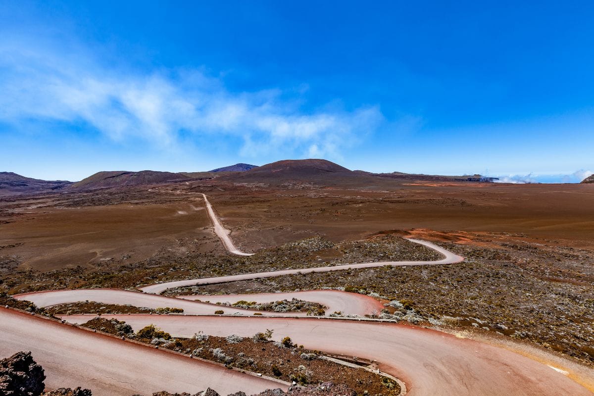
The volcano's antechamber, a desert-like lunar landscape between 2,100 and 2,300 m altitude. A bumpy 5 km track crossing a former crater lake, a unique mineral panorama before reaching Pas de Bellecombe. An iconic photo stop on the island.
Lunar landscape
5 km track
Former crater lake
Choose based on your trip
Which Reunion Island for which traveller
Six travel profiles, six typical itineraries. First visit, family, hiker, couple, tight budget, outside cyclone season. For each one: the ideal duration and the must-dos to tick off.
First visit to Reunion Island
If it's your first time, the priority is covering the three highlights that define the island's identity: the west coast lagoon for postcard relaxation, a cirque for a nature immersion (Cilaos is the most accessible first-timer's choice), the volcano for the signature experience. 7 days minimum.
7 to 10 days recommended
West coast lagoon, 2 days
Cilaos, 2 days
Piton de la Fournaise, 1 day
Sunrise at Le Maïdo
Family with children
Centre the trip on the west coast lagoon and supervised activities from age 6-8. La Saline and l'Hermitage for the lagoon, clear kayaking, snorkelling, turtle watching, tree-top adventure at l'Étang-Salé. A half-day volcano excursion by road, without a committing hike.
8 to 12 days recommended
La Saline lagoon
Trou d'Eau clear kayaking
Turtle watching
Route du Volcan
Hiker or sports enthusiast
This is where the island really comes into its own for walkers. A 2-day ascent of Piton des Neiges, a 3-4 day crossing of Mafate, the full Piton de la Fournaise trail via the Plaine des Sables, the Trou de Fer hike from Bélouve. 10 days minimum to cover the big ones.
10 to 14 days recommended
Piton des Neiges, 2 days
Mafate crossing, 4 days
Piton de la Fournaise
Trou de Fer
Romantic couple
Boutique accommodation, spectacular settings, exclusive experiences. A seafront hotel at Boucan or Saint-Leu, a boutique gîte at Hell-Bourg, sunrise at Le Maïdo, a sunset horse ride, a private catamaran cruise, a helicopter flight over Mafate and the volcano.
7 to 9 days recommended
Boutique hotel, west coast
Hell-Bourg gîte stay
1-hour helicopter flight
Sunset catamaran
Tight budgets and backpackers
Gîtes from €25-40 a night in the cirques, wild camping tolerated in the Hauts, public transport (Car Jaune buses), Creole restaurants at €12-15 for lunch. Seven days split between a rural gîte and a Saint-Denis hostel, a self-guided Mafate hike, and hitchhiking is widely accepted.
7 to 14 days recommended
Gîtes from €25 in a cirque
Car Jaune bus network
Wild camping tolerated in the Hauts
Saint-Denis hostel
Outside cyclone season
May to November is the ideal window for the Hauts and hiking. Lagoon water at 24-25°C, stable trails, clear panoramas, few showers. September-October often bring the best prices before the December high season.
The whole May to November window
Stable trails
Sea of clouds at sunrise
24-25°C lagoon water
Off-peak season rates
Logistics
How to get between zones
Four options for exploring the island. The car remains the standard; the van offers maximum freedom; the helicopter opens up unique views; a private driver frees you from driving.
Rental car
The simplest way to get around. Budget €25-45 a day depending on season, agencies at the airport or in the main towns. A compact car is enough even for the cirques (Cilaos's 420 bends are manageable). Roads are in good condition.
The most immersive way to explore the island at your own pace. A van, plus wild camping allowed in certain areas of the Hauts, is a major logistical advantage. Yescapa has a solid catalogue, with 30 vans available at any one time in Reunion Island.
The island's signature aerial experience. Fly over Mafate, Piton de la Fournaise and the lagoon in 30-60 min. Several operators depart from Le Port, Saint-Pierre or Pierrefonds. Prices €190-320 depending on duration.
For those who'd rather not drive or prefer a personalised service. Airport transfers, guided excursions, events. The site's local partner MLJ Concept covers the whole island, on booking.
Suggested durations and travel times for the key zones. Driving times exclude photo stops and detours, so adjust them to your own pace and the season.
Zone
Minimum
Ideal
From Saint-Denis
West coast and lagoon
1 day
2 to 4 days
30-60 min
Wild South
1 day
2 to 3 days
1 hr 30
Lush East
1 day
2 to 3 days
1 hr
Cirques (a single one)
1 day
2 to 3 days
1 hr 30 to 2 hr
Mafate, hiking
2 days
3 to 5 days
2 hr to the trailhead
Piton de la Fournaise
1 day
1 to 2 days
2 hr 30
Piton des Neiges
2 days
2 days, no less
2 hr to Cilaos
For a bird's-eye view
Fly over the island by helicopter
The only way to see Mafate, Piton de la Fournaise and the lagoon within the same hour. Prices €190-320 depending on the package. Book it early in the trip to get the lie of the land before planning the rest, or at the end to piece together everything you've seen on the ground.
For a first visit, structure the trip in three parts: 2 days on the west coast for the lagoon (Saint-Gilles or La Saline), 2 days in a cirque for nature (Cilaos for a first visit, more accessible than Mafate or Salazie), 1 to 2 days at the Piton de la Fournaise volcano. Round it off with a night in Hell-Bourg or Bourg-Murat for sunrise over Mafate or the summits.
How many days do you need to visit Reunion Island?
Seven days minimum for the highlights (lagoon plus a cirque plus the volcano), 10 days to add Mafate or Piton des Neiges, 14 days to cover the island in all its diversity (west, Wild South, lush east, Hauts, cirques). Below 5 days, the pace becomes frustrating.
What's the most beautiful cirque in Reunion Island?
It's a debate with no definitive answer. Mafate is the wildest and most impressive (no road in), Cilaos the most accessible and touristy (thermal baths, wine, village), Salazie the greenest and most authentic (Hell-Bourg, primary forests). For a first visit: Cilaos. For a memorable experience: hiking in Mafate.
When should you go to Reunion Island?
May to November is the dry season, ideal for hiking, the Hauts and clear panoramas. December to April is cyclone season: frequent rain, fog in the Hauts, a risk of weather alerts. The west coast lagoon stays usable year-round. For the summits and cirques, aim exclusively for May to November.
Can you see the volcano erupting in Reunion Island?
Piton de la Fournaise erupts on average every 9 to 12 months. When an eruption is underway, authorities set up secure viewing points (often from Pas de Bellecombe or along the Route du Volcan). Outside an eruption, the crater and the Plaine des Sables remain a unique geological spectacle.
What's the best area to stay in Reunion Island?
For a family beach trip: the west coast between Saint-Gilles and Saint-Leu. For a nature and hiking trip: alternate between gîtes in the cirques (Cilaos, Hell-Bourg) and a west coast hotel base. For a short trip (under 7 days): a single west coast base with day trips. For a road trip: a Yescapa camper van, free-form stops.
Is Reunion Island accessible for people with reduced mobility?
Saint-Denis (the Jardin de l'État, the town centre), the fitted-out beaches of the west coast lagoon, and some viewpoints (Le Maïdo, Pas de Bellecombe) are accessible. Cirque or summit hikes are not. See the guide to 5 walks accessible to people with reduced mobility for suitable routes.
Which town makes the best single base on the island?
If you don't want to change accommodation, Saint-Gilles or Saint-Leu are the best base camps: central, 1-2 hours from every zone (the volcano, Cilaos, Mafate via Le Maïdo, the south, the east). Saint-Pierre also works well for quick access to the volcano and the Wild South. Saint-Denis is less central if you're mostly after nature.