Mafate distance and walking time calculator
The Mafate cirque can only be crossed on foot. Choose a starting point and a hamlet to reach: the tool calculates the best route over the trail network, distance, duration and elevation included.
Col des Bœufs → La Nouvelle
1 trail leg · moderate pace
- 1Col des Bœufs → La Nouvelle1h30 to 1h454.6 km70 m520 m
Indicative data.Distances, walking times and elevation gains were collected from reference sources ( randopitons.re, Parc national de La Réunion ) but remain “average walker” estimates. They can differ from conditions on the ground: weather, trail state, pack weight, breaks, fitness level. Some Mafate trails close temporarily ( cyclones, works ): always check they're open with the ONF ( national forestry office ) before setting off.
The independent guide to planning your trip to Reunion Island
Sous Les Étoiles 974 is an independent guide to planning your trip to Reunion Island: bookable activities (helicopter, guided hikes, paragliding...), places to stay, Mafate gîtes and practical guides. This distance calculator helps you plan your crossing of the cirque.
The Mafate cirque's 8 gateways
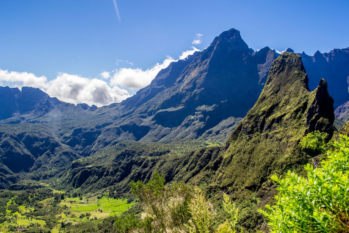
Mafate is the only cirque in Reunion Island with no road. You can only enter on foot, via one of the trails descending the cirque walls. The calculator connects these eight gateways to every hamlet.
Good to know. Some Mafate trails close temporarily after cyclones or for works. Always check their status with the ONF (national forestry office) before setting your route.
Reading the walking times correctly
Elevation matters most
In Mafate, it's not the kilometres that wear you out, it's the elevation. The same leg takes far longer uphill.
Direction changes everything
The tool shows different times depending on the direction of travel: fast downhill, noticeably slower back up.
Adjust the pace
The times are for an average walker, light pack, no breaks. The fast/moderate/relaxed slider adjusts them.
The data comes from randopitons.re's reference table of distances between hamlets, supplemented by the Parc national de La Réunion. It remains indicative and may differ from conditions on the ground.
Everything about distances in Mafate
How do you get to the Mafate cirque?
Mafate can only be reached on foot or by helicopter: no road enters the cirque. You get in via a trail from a car-accessible starting point: Col des Bœufs and Col de Fourche on the Salazie side, Le Bélier (Scout and Augustave trails), Le Maïdo on the Saint-Paul side, Col du Taïbit from Cilaos, Dos d'Âne and Deux Bras to the north, or Sans Souci via the Canalisation des Orangers path.
How long is the walk from Col des Bœufs to La Nouvelle?
Allow around 1h30 to 1h45 downhill for an average walker, over 4.6 km, with nearly 520 m of descent. The return leg, uphill, takes more like 1h45 to 2h15. It's the shortest and busiest way into the cirque.
What's the easiest way into Mafate?
Col des Bœufs: it has a supervised car park and reaches La Nouvelle in just 1h30 to 1h45 downhill. It's the simplest, most used gateway into the cirque.
How long does it take to reach Marla from Cilaos?
Via Col du Taïbit, allow around 3h to 3h40 of walking to link the road at Îlet à Cordes to Marla, roughly 6.5 km, with about 950 m of ascent followed by 530 m of descent.
Are the walking times shown reliable?
They're “average walker” estimates gathered from reference sources (randopitons.re, Parc national de La Réunion). They can vary with the weather, trail conditions, pack weight and your fitness level. The pace slider lets you adjust the estimate. Always check that trails are open before setting off.