Things to do in Le Tampon, the gateway to Piton de la Fournaise
The island's second town and the only road access to the volcano: the forestry road to the Pas de Bellecombe, the lunar Plaine des Sables, the Cité du Volcan in Bourg-Murat, the Parc des Palmiers (1,200 species), highland farm restaurants and local open-air markets. It's the hub of the volcanic south.
80,000 residents (2nd)2,311m Pas de BellecombePlaine des Sables lunar landscapeCité du Volcan 6,000m²
Quick facts
Le Tampon at a glance
Type
Highland town · south
Population
≈ 80,000 residents (2nd)
Centre altitude
≈ 450m
Plaine des Cafres
1,600m
Pas de Bellecombe
2,311m
Distance to Saint-Pierre
≈ 8km · 15 min
Centre climate
20-28°C
Specialities
The volcano, cheese, strawberries
A sprawling municipality of 165km² stretching from the lowlands (Trois-Mares, 350m) to the highlands (Plaine des Cafres, 1,600m), Le Tampon is the island's second town, with a university, highland farming (strawberries, cheeses, geranium) and livestock. It feels more rural and cooler than nearby Saint-Pierre.
5 must-sees
The volcano, the Cité, the Palmiers, the market, the trails
From the Pas de Bellecombe to the Rivière des Remparts by way of highland gardens and rural markets, here are five stops not to be skipped.
The Volcano Road and the Plaine des Sables
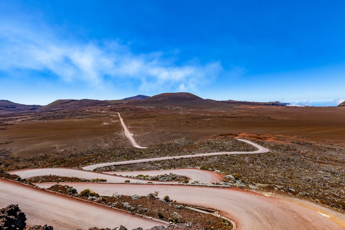
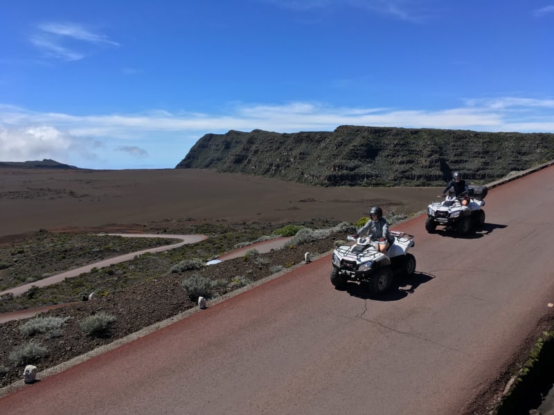
Le Tampon is the sole gateway to Piton de la Fournaise. From Bourg-Murat (Plaine des Cafres, 1,600m), the forestry road crosses Nez de Bœuf, the Pas des Sables (2,350m) and then the Plaine des Sables, an immense plateau of red-ochre ash with a lunar look, all the way to the Pas de Bellecombe car park (2,311m). Allow 1 hr 15 min for the drive. Set off before 6am to beat the clouds and catch the raking light.
The Cité du Volcan, an immersive museum
In Bourg-Murat, this 6,000m² science museum offers an interactive experience on volcanism: holography, augmented reality, touchscreens, 4D cinema, a lava-flow simulator, real-time monitoring of OVPF activity. It's a must before or after visiting the volcano; allow 2 to 2.5 hours. A solid plan B if the volcano road is closed for an eruption or bad weather.
The Parc des Palmiers, a 20-hectare collection
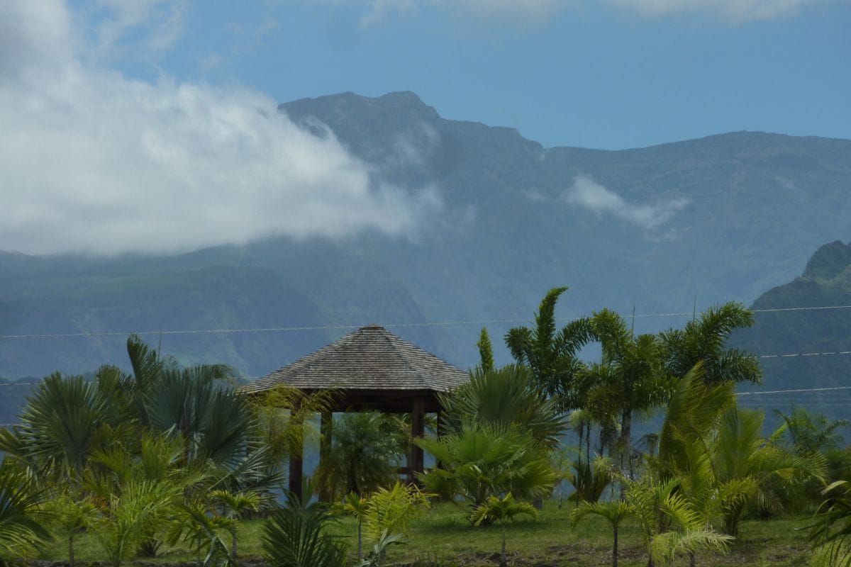
A botanical garden at 600m altitude dedicated to palm trees: 1,200 species, an educational trail, picnic kiosks, viewpoints over the highlands and the Plaine des Cafres. Free entry, pushchair-friendly. Ideal for a breather between a morning hike and a museum visit, or for a photogenic sunset.
The open-air market and highland produce
Le Tampon's central market is open every day, busier on Saturday mornings. The highland markets (Bourg-Murat, Trois-Mares) are smaller and more authentic: highland cheeses (bringellier, tropical vacherin), strawberries, charcuterie, local vegetables and baskets woven from vacoa (screw pine) leaves. Don't miss the Bras-Creux Agricultural Fair in July.
The Notre-Dame de la Paix trail and the Rivière des Remparts
A spiritual viewpoint in the highlands above Le Tampon with a view over the Rivière des Remparts, one of the island's deepest cuts. There's a chapel, a place of pilgrimage and a viewpoint indicator. Several accessible loop trails, including the Chemin des Anglais and the Bras de Pontho, historic stone-lined paths with coastal views.
Hikes from Le Tampon
From Formica Léo to Piton des Neiges
Six loop or one-way routes, from easy to demanding, accessible from Le Tampon or the Plaine des Cafres. Always check the weather, volcano trails can be closed during an eruptive crisis.
Demanding · 5 hours
Piton de la Fournaise via the Pas de Bellecombe
A descent into the Enclos followed by the climb to the Dolomieu crater: 12km round trip, 600m of elevation gain, around 5 hours. The trail crosses lava rock; start very early (4.30-5am) for the sea of clouds and the light.
Easy · 2.5 hours
Formica Léo and Cratère Commerson
An easy loop from the volcano road: 2.5 hours, 150m of elevation gain. You pass the red-orange Formica Léo cone first and the wider Commerson crater on the way back. From age 8.
Easy · 1 hour
Nez de Bœuf
A viewpoint opening onto the Rivière des Remparts, reachable from the car park in a few minutes, or via a 1-hour loop. A major photo spot, ideal alongside the volcano road.
Easy · 1.5 hours
Notre-Dame de la Paix
A place of pilgrimage in the highlands, with a chapel, a viewpoint indicator, several short marked loops and a panoramic view over the Rivière des Remparts. Expect a rural atmosphere and cool air at altitude.
Moderate · 3 hours
Chemin des Anglais and Bras de Pontho
Historic dry-stone-lined paths that once linked Saint-Pierre to the highlands. Coastal views, a heritage atmosphere. Several stages possible depending on your time.
Demanding · 8 hours
Piton des Neiges from the south
The roof of the Indian Ocean at 3,070m. A variant from the Plaine des Cafres (the Bloc mountain lodge plus a night ascent). It's demanding: bring a fleece and a head torch, and book the lodge ahead in high season.
Helicopter flights, see the lava up close during an eruption
Pierrefonds Airport is a 20-minute drive from Le Tampon. Several companies fly from there: over the Dolomieu crater, the Enclos Fouqué and the Plaine des Sables. During an eruption, it's often the only way to approach the lava flow safely. A complete circuit takes in Mafate, Cilaos, Piton des Neiges, and Trou de Fer on the east side. €205 to €345 depending on duration, with discounts from 4 people.
The ideal starting time for the Piton de la Fournaise ascent is 4.30am from the Pas de Bellecombe. Sleeping in a campervan in Bourg-Murat or at a highland rest area avoids the long drive up from Saint-Pierre. Yescapa centralises campervan rentals in Reunion Island, with delivery possible to Roland-Garros or Pierrefonds airport.
The Plaine des Cafres accounts for a large share of the island's highland farming. With a temperate climate, fertile volcanic soils and steady trade winds, this is where strawberries, potatoes, highland cheeses (bringellier, tropical vacherin, fresh cheese), pink-berry honey and farmhouse charcuterie are grown and made.
Several farm restaurantsserve lunch (often by reservation) with tangue (tenrec) curry, cooked vacoa, palm heart, chayote gratin, and homemade strawberry desserts. Expect €18-35 per person, sometimes with wine included. It's the most authentic food for the money on the island. The Bourg-Murat market on Saturday mornings and the Bras-Creux Agricultural Fair in July round out the offer.
For traditional vacoa basketry (baskets, hats, trays), the highland markets remain the best places to buy, at prices with no middleman: a typically Reunionese souvenir that travels well.
An hour's drive away
Excursions from Le Tampon
A central position in the south. 15 min to Saint-Pierre, 30 min to Étang-Salé, 50 min to Plaine des Palmistes via the Route des Plaines. Six ideas for exploring further. Car Jaune line 14 links Saint-Pierre and the Plaine des Cafres, but for the rest you'll want your own wheels: check hire car prices and set Pierrefonds Airport, 20 minutes from Le Tampon, as your pick-up point.
Le Tampon is the sole gateway to Piton de la Fournaise: the volcano road, the Plaine des Sables, the climb to the Dolomieu crater. In Bourg-Murat, the Cité du Volcan (a 6,000m² interactive museum) rounds out the visit. For nature, there's the Parc des Palmiers (20 hectares, free entry), the family-friendly Formica Léo hike, the Notre-Dame de la Paix trail over the Rivière des Remparts. For local produce, there's the open-air market, highland cheeses, strawberries, farm restaurants.
What's the altitude in Le Tampon?
The town centre sits at around 450m. The highlands above Le Tampon (Plaine des Cafres, Bourg-Murat) rise to 1,600m. The volcano road peaks at the Pas de Bellecombe at 2,311m, the Pas des Sables at 2,350m. Temperature drops by about 1°C every 100m: bring a fleece and windbreaker even in summer for the volcano, with 10°C possible at sunrise at the Pas de Bellecombe.
How do you get up to Piton de la Fournaise?
Take the forestry road from Bourg-Murat (Plaine des Cafres, 1,600m): allow 1 to 1.25 hours to the Pas de Bellecombe car park (2,311m). Check it's open in case of an eruption (the road is often closed during a crisis). A very early start is recommended, 6am at the latest, to beat the clouds and catch the light. See my live eruption tracking page for the current status.
The Cité du Volcan or straight to the volcano?
Ideally, both. Starting with the Cité du Volcan helps you understand how Piton de la Fournaise formed, its eruptive history, and how the OVPF observatory works. The visit takes 2 to 2.5 hours. Then head up to the Pas de Bellecombe to see the real thing. The Cité du Volcan remains the plan B for bad weather at altitude or if the volcano road is closed.
Le Tampon or Plaine des Palmistes?
Le Tampon for the volcano, the south and the dry highlands (Plaine des Cafres). Plaine des Palmistes for the primary forest (Bébour-Bélouve) and Trou de Fer, a damper atmosphere. Many itineraries combine both via the Route des Plaines (N3), a scenic drive of around 50 minutes.
Is Le Tampon worth an overnight stay?
Yes, for anyone wanting to climb the volcano at sunrise. Sleeping in Bourg-Murat or in a campervan as close as possible to the Pas de Bellecombe allows a 4.30am departure without the long drive up from the coast. There are several gîtes and guesthouses, at €60-110 a night. Without that constraint, you can visit Le Tampon as a day trip from Saint-Pierre.
Where can you eat strawberries and cheese in Le Tampon?
The highlands above Le Tampon (Plaine des Cafres, Bourg-Murat) are where France's tropical strawberries are grown. You'll find them at the central market, at the Bras-Creux Agricultural Fair (July) and directly from several producers. For highland cheeses: bringellier, tropical vacherin, fresh cheese at the Bourg-Murat dairy cooperative and at farm restaurants.
What can you do in Le Tampon if it rains?
Several options. The Cité du Volcan (2.5 hours of indoor exhibits), Le Tampon's shopping centre, the stalls at the central market, farm restaurants serving table d'hôte lunches. 15 minutes away by car, Saint-Pierre also offers the Villèle museum and covered restaurants. All-day rain is rare in central Le Tampon, more frequent in the highlands.
Is there a beach in Le Tampon?
No, Le Tampon is at altitude. For swimming, head down to Saint-Pierre (15 min, Terre-Sainte beach) or Étang-Salé (30 min, black sand and a lagoon). Many visitors alternate a volcano/Le Tampon day with a beach day in Saint-Pierre during the same stay.
When should you visit Le Tampon?
May to November for climbing the volcano (the dry season, clear skies). June to October for pleasantly cool weather. December to March: cyclone season, the volcano road is sometimes closed. Local school holidays bring crowds to the markets and family trails. The Agricultural Fair in July is worth the detour.
How do you get to Le Tampon?
From Saint-Pierre, 15 min via the N3. From Roland-Garros Airport, 1 hr 20 min via the N1 then N3. From Pierrefonds Airport, 20 min. A car is essential to explore the volcano and the highlands further afield. The Car Jaune bus line 14 (Saint-Pierre to Plaine des Cafres) serves Le Tampon and Bourg-Murat.
Can you see an eruption from Le Tampon?
Sometimes, yes. When Piton de la Fournaise erupts with a lava flow visible on the Plaine des Sables or Grand Brûlé side, the red glow can be seen at night from the highlands above Le Tampon (Bourg-Murat). Viewing should always be from a distance, never on the flow itself. A helicopter flyover from Pierrefonds remains the most spectacular way to see the lava.