 hotel4 km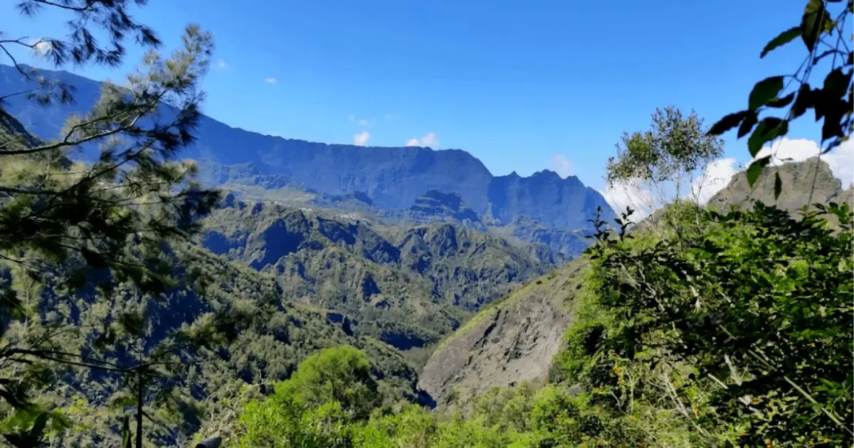
Bras Rouge, Cilaos · at the foot of the Taïbit
Wild camping at Bras Rouge: a night below the Col du Taïbit, Cilaos
A camping area a few kilometres outside Cilaos, perched above the Bras de Benjoin: a shelter, a tap, a fire pit, and the start of the Taïbit trail to Marla and Mafate.
1,200 maltitude3-4tents maxCardirect accessFreeno booking
The Bras Rouge wild-camping area is one of the most popular in the Cilaos cirque. A few kilometres out of town towards Bras-Sec, it has a sweeping view over the Bras de Benjoin valley and, above all, it's the start of the Col du Taïbit trail, the classic route to Marla and the Mafate cirque on foot.
There's a shelter, picnic tables, a fire pit and a tap. It's a small spot (room for 3 to 4 tents) that fills up fast in season. For campervans, a few parking spots let you sleep on site without pitching a tent.
At a glance
The Bras Rouge camping essentials
The experience
A night at the foot of the pass, before the crossing
Arrival. The road from Cilaos runs along a ledge above the valley. The area appears around a bend, on a flat clearing fringed with casuarina trees: the red-roofed shelter, several stone fire pits, two tables. If the main area is taken, around a dozen pitches round the edge fit one or two tents.
Sunset.Depending on the season, the sun drops behind the western cliffs between 5:30pm and 6:30pm. The cirque's inner peaks light up. The cold sets in fast: at 1,200 m you go from a T-shirt to a down jacket within an hour.
Night.Very little light pollution, and a clear sky. The cirque's silence is only broken by the wind in the casuarinas and, occasionally, the cry of a late-flying papangue (Reunion harrier). Insects remain rare at this altitude.
Morning. This is why most people camp at Bras Rouge: to set off at dawn for the Col du Taïbit, a steep 3-hour climb to the pass, then a descent into Marla. The cool morning air and the absence of cars on the trail make the climb noticeably more pleasant than setting off from Cilaos in the middle of the day.
How to get there
How to reach the area by car
From the edge of Cilaos heading towards Bras-Sec, follow the main road as it winds along the valley. The area is on the right, about 4 km from the market square. Free parking along the road.
Allow 1 hour from Saint-Louis, 1 hour 15 from Saint-Pierre. The road up to Cilaos is famous for its 420 bends (bring travel-sickness tablets if you need them). Fill up with fuel before Cilaos: the town's petrol station isn't always open in the evening.
Backpack
What to bring for a night at Bras Rouge
- A 3-season tent and a 0°C sleeping bag: at 1,200 m, nights drop below 5°C in the southern winter
- A warm fleece and a hat: it gets cold quickly at nightfall in the cirque
- A head torch: there's no lighting on site, and the area is remote
- 1.5 L of water per person: there is a tap on site, but treat the water to be safe
- A gas stove: fires are banned except in the shelter's stone fire pit
- Bin bags: take all your rubbish home, even biodegradable waste
- Hiking boots: to set off on the Taïbit trail or to the Bras Rouge waterfall in the morning
Regulations
Wild camping in the National Park: the rules
The Bras Rouge area lies within the core of Reunion Island's National Park. Wild camping is allowed there, with conditions. Here are the official rules, word for word.
- 'Tents and hammocks must be pitched before sunset and taken down in the morning'
- 'Do not light campfires': only stoves and the designated stone fire pits are permitted
- 'Take all your rubbish away with you', including biodegradable waste
- 'The use of generators is prohibited'
- 'No harm may be done to wildlife or plant life'
- 'Leave the site as you found it'
Source: Parc national de La Réunion: Wild camping in the Park core. Wild camping is banned in the Mare Longue forest, at Grand Bassin, in the Rivière des Remparts, and on the cliffs of Piton des Neiges and Grand Bénare. The Bras Rouge area is not affected by these restrictions.
Combine it with
Things to do near Bras Rouge
Make the most of being in the Cilaos cirque with a guided activity. All of these start less than 30 minutes from the area.

La Chapelle hike, Cilaos
A descent into the Bras Rouge river valley with a local guide, towards the sacred site of La Chapelle.
See the activity
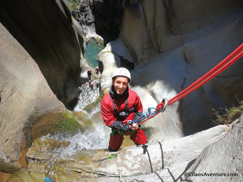
Fleur Jaune canyoning from Cilaos
A guided descent of one of the cirque's most beautiful canyons, with natural jumps and slides.
See the activity

Mafate hike from Îlet Cayenne
If you cross the Col du Taïbit, extend your trip with a guided hike in the cirque that no road reaches.
See the activity
 Also worth combining
Aerial view
Fly over the three cirques in one hour
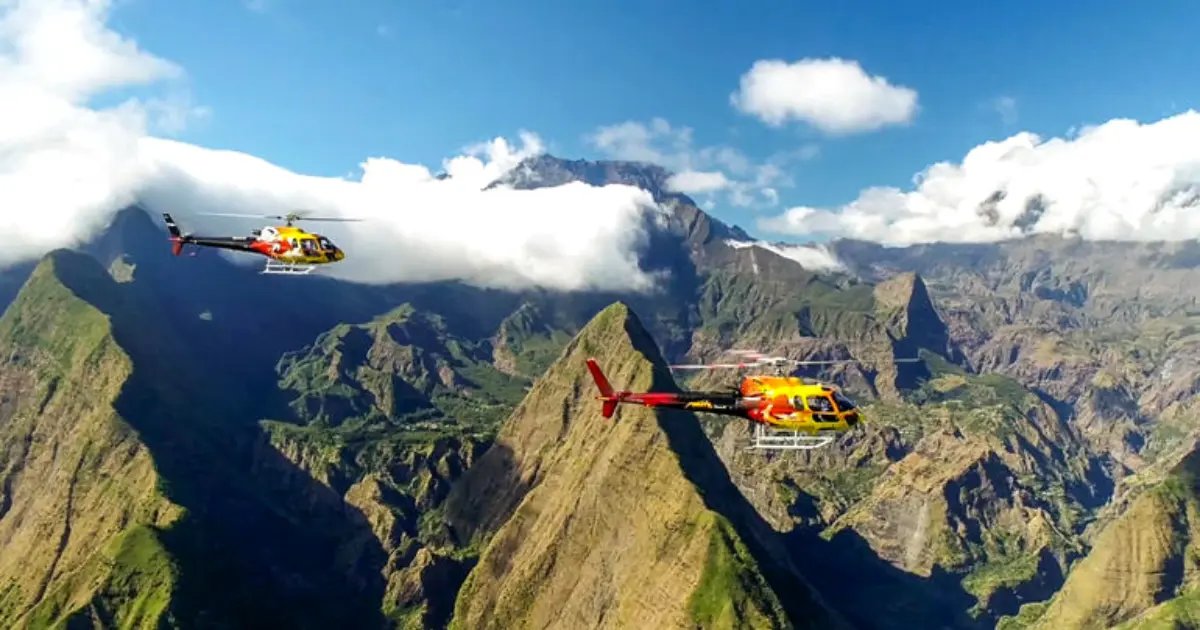
Camping at Bras Rouge, you see Cilaos from the valley floor. A helicopter shows you all three cirques at once: Cilaos, Mafate and Salazie, their inner walls and the Col du Taïbit from above.
The perfect complement to the hike: you see the ground you've covered, pick out the trails, and spot the Mafate hamlets you only know by name.
From €125 · 210 Manawa reviews · Saint-Pierre / Saint-Paul
See helicopter rates
Stay nearby
Accommodation near Bras Rouge
For the night before you go up or after you come down, here are places to stay within 20 km of the area, in the Cilaos cirque.
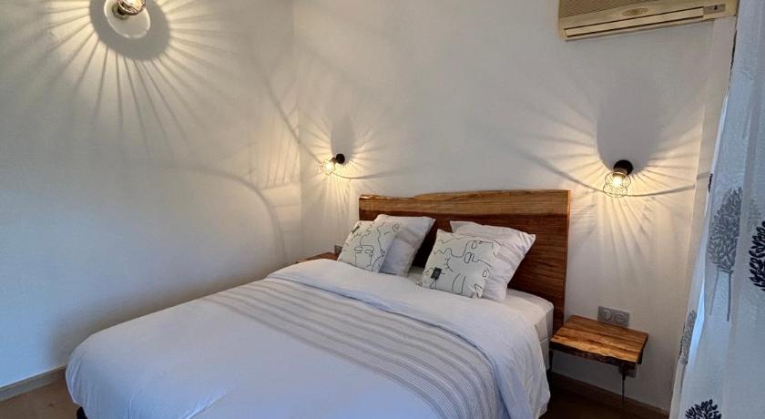
hotel4 km hotel6 km
 auberge8 km
Other spots
Other wild-camping spots near the Taïbit
Wild camping at Îlet des Trois Salazes, Cilaos
A high spot in the cirque, reached on foot, with a panorama over the inner peaks.
See the spot
Wild camping in Aurère, in the heart of Mafate
If you cross the Taïbit, the hamlet of Aurère is a natural stop on a Mafate crossing.
See the spot
Wild camping at the summit of Piton des Neiges
The highest point in the Indian Ocean at 3,071 m, reached from Cilaos on a 5-hour climb.
See the spot
Frequently asked questions
Wild camping at Bras Rouge, Cilaos: your questions answered
How do I get to Bras Rouge by car?
Leave Cilaos towards Bras-Sec and follow the road to the Bras Rouge picnic area. You can drive right up to the shelter, and park along the road, first come first served. Allow 1 hour from Saint-Louis or Saint-Pierre.
How many tents are there room for?
The main area easily fits 3 to 4 tents, around the shelter with its tables, fire pits and tap, and there are a few pitches for 1 or 2 tents round the edge. It's especially popular from Friday to Sunday, so arrive before 5pm in high season.
Do I need a permit to camp at Bras Rouge?
No, camping here is free with no booking, as elsewhere in the core of Reunion Island National Park. The basic rules: pitch your tent in the evening and take it down in the morning, no fires except in the fire pit, and take all your rubbish with you. The Bras Rouge area isn't in a banned zone (unlike the cliffs of Piton des Neiges, for example).
Which hikes can I do from here?
Three classics: the Col du Taïbit to Marla and Mafate (a steep 3-hour climb), the Bras Rouge waterfall there and back (2 hours, easy), and the Sentier des Calumets and Bonnet de Prêtre loop through the valley. Most hikers set off at dawn to avoid the heat.
Is there drinking water, and are there toilets?
There is a tap on site, but treat the water with a purification tablet or a filter bottle: it isn't officially guaranteed to be drinkable. There are no toilets, so come fully self-sufficient and follow leave-no-trace rules for toilet waste.
When is the best time of year to camp in Cilaos?
The dry season, from May to November, brings the clearest skies and the best hiking. Avoid December to March, the cyclone season, when the Bras de Benjoin river can rise suddenly and the Taïbit trail gets slippery. Check the Météo-France Réunion forecast the evening before heading up.
How else can I explore Cilaos without camping?
La Chapelle de Cilaos, with a local guide, takes you to a sacred site at the bottom of the Bras Rouge valley in a few hours. Fleur Jaune is one of the cirque's most beautiful canyons. And for the most spectacular view, a helicopter flight over the three cirques : 8 routes from €125, departing from Saint-Pierre and Saint-Paul.
Page updated on 19 September 2026. GPS coordinates and National Park rules verified as of this date.