 hotel< 1 km

Hills above Saint-Paul · west coast
Chemin Charrette Bœuf, Saint-Paul: panoramic camping on the ridge
A 25-minute paved trail leads from the car park to a grassy ridge top, with an outstanding panorama over the Indian Ocean, picnic shelters and mountain bike trails.
Hills above Saint-Paullocation25 min from the car parkwalkOcean panoramaviewFreecost
Chemin Charrette Bœuf, in the hills above Saint-Paul, is one of those low-key spots that locals know well and tourists rarely discover. A 25-minute paved trail from the car park leads to a grassy ridge-top area, with a panoramic view over the Indian Ocean and the west coast unfolding beneath your feet.
This page covers everything you need to know before heading up: access from Saint-Paul, gear suited to mid-altitude conditions, safety on the slope, mountain bike trails, and nearby activities to combine it with (paragliding, quad biking, diving). If you'd rather not sleep in a tent, a campervan can stay parked at the car park, a 25-minute walk from the camping spot.
At a glance
The essentials for camping at Charrette Bœuf
The experience
A night on the ridge, facing the ocean
Arrival. The paved trail starts with a steep climb right after the car park. Allow 5 minutes to get through this first section, then the terrain eases off and the path follows the ridge. The full walk takes around 25 minutes to reach the main grassy area.
The panorama. From the camping area, you look out over the west coast and the Indian Ocean. The coral reef traces the outline of the Saint-Gilles lagoon, the Maïdo cliffs close off the interior to the south, and the inland peaks appear on a clear day.
Sunset. This is the spot's main draw: an unobstructed view due west, the sun drops into the ocean around 5.50pm in the austral winter and 7.05pm in high summer. Golden light sweeps across the whole coast before nightfall.
Night. At 700m elevation, the air is cool and dry. A lightweight sleeping bag is recommended. Away from the lights of Saint-Paul, the starry sky is outstanding. The only ambient noise is the wind moving through the vegetation.
Route
How to get to Chemin Charrette Bœuf
From Saint-Paul, head up towards Grande-Fontaine. The trailhead is visible from the road; park near the information sign.
Allow around 25 minutes on foot on the paved trail to reach the camping area. No vehicles are allowed on the trail. Fill up with fuel and buy supplies in Saint-Paul town centre.
Backpack
What to pack for the night
- A wind-resistant tent: the ridge is exposed to the trade winds
- A sleeping bag rated to 12°C: at 700m, nights are cool
- Warm clothing and a windbreaker: mornings are chilly before sunrise
- Closed shoes with a grippy sole: the initial climb is steep
- A head torch: there's no lighting up in the hills
- 2L of water per person: there's no drinking water on site
- A portable gas stove: fires only in the built fire pits
- Bin bags: take everything back out with you, the site is wild
Read before you go
Specifics and precautions
The trail starts with a fairly steep climb from the car park. Good closed shoes with a grippy sole are essential, especially in wet weather. Avoid periods of strong swell or bad weather, as the trail gets slippery.
Fires are only allowed in the built fire pits. Follow the safety guidelines and stay on the marked trails. Check the weather before you set off, as the ridge is exposed to the trade winds at all times.
To combine
Activities to do around Saint-Paul
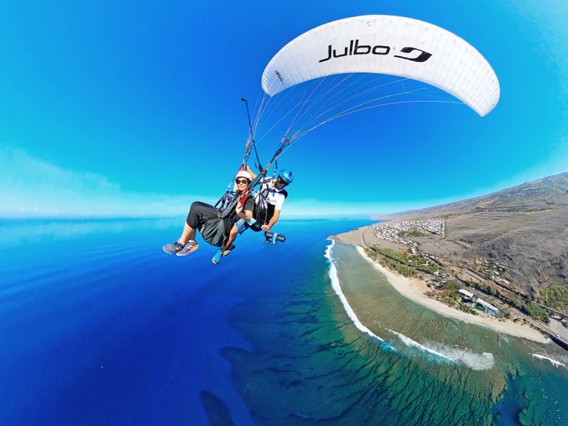
Introductory Paragliding Flight in Saint-Leu
Take-off from the Maïdo cliffs, landing in Saint-Leu, 30 minutes away by car.
See the activity
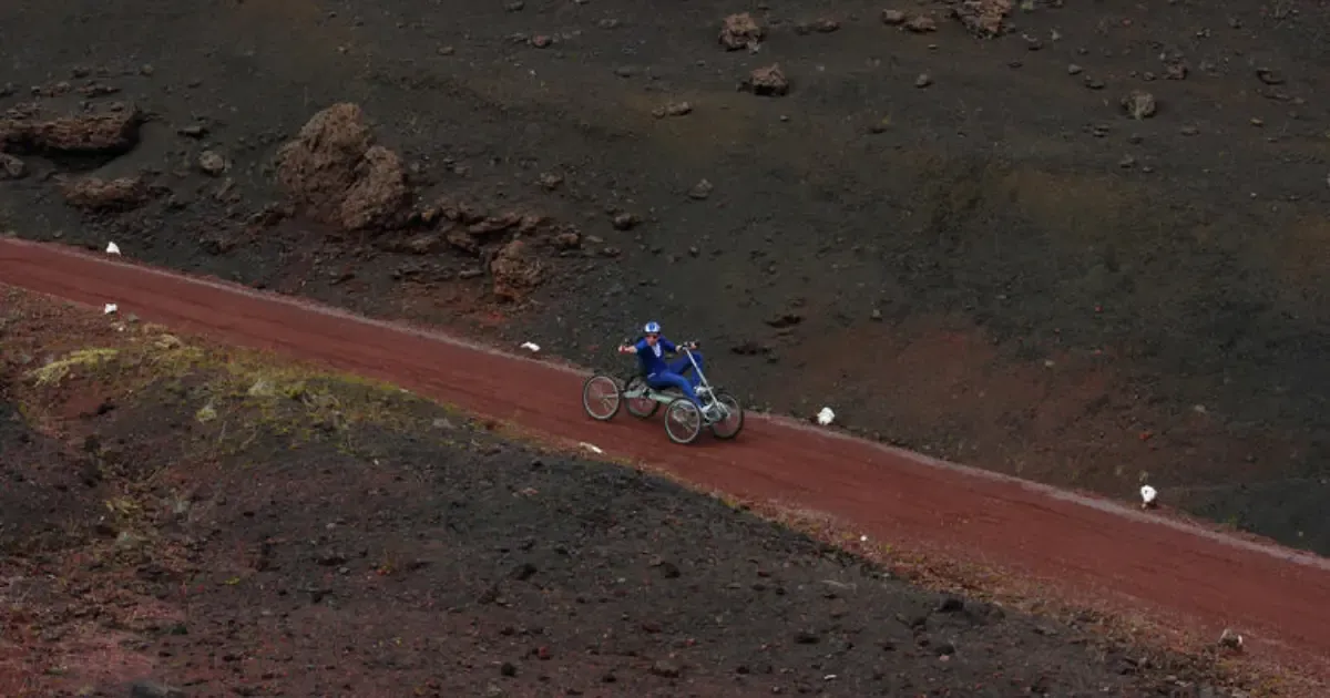
Quad Biking on the West Coast
An e-bike excursion on the trails of Étang-Salé and the surrounding hills.
See the activity
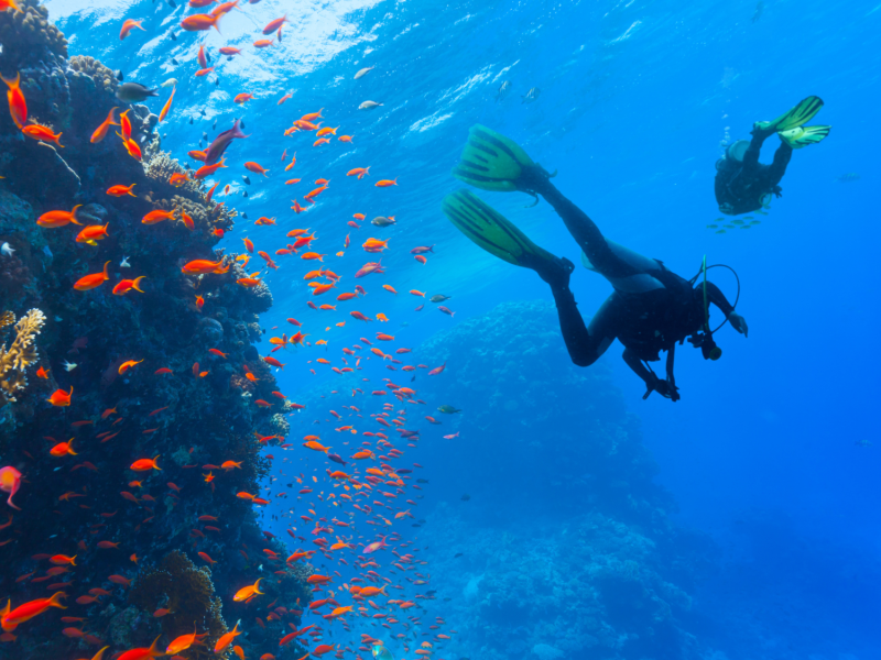
Exploration Diving in Saint-Gilles
Coral drop-offs and tropical marine life in Saint-Gilles bay.
See the activity
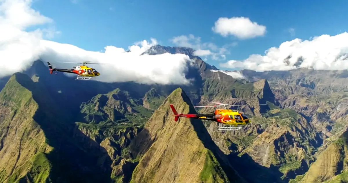 Also worth combining
Aerial view
Mafate Seen from the Sky, from the Cliffs Above Saint-Paul
Charrette Bœuf gives you the ocean panorama from the ridge. A helicopter flight opens up the other side: it flies over Mafate, the island's only cirque with no road access, just 8 minutes' flight from the cliffs above Saint-Paul.
8 routes departing from Saint-Pierre or Saint-Paul, from 15 minutes to 1 hour.
From €125 · 210 Manawa reviews · Saint-Pierre / Saint-Paul
See helicopter prices
Other spots
Other west coast camping spots
Domaine Le Zantak, Hills of Saint-Paul
A neighbouring spot with entertainment and food, in the hills of the same town.
See the spot
Aires de Vaudeville, Trois-Bassins
A neighbouring forest spot on the same west coast, 30 minutes to the south.
See the spot
Tévelave Forest, Les Avirons Highlands
A similar state forest in the hills of the west coast.
See the spot
Sleep nearby
Accommodation nearby
Places to stay within 25km, around Saint-Paul.
hotel< 1 km hotel4 km
 hotel5 km
Frequently asked questions
FAQ: camping at Charrette Bœuf
How do you get to Chemin Charrette Bœuf?
From Saint-Paul, head up towards Grande-Fontaine. Park near the trailhead, visible from the road, then allow around 25 minutes on foot to reach the camping area. The paved path follows a panoramic ridge.
Is camping free here?
Yes, it's free and open to all. The site is public, managed by the Saint-Paul town council, with no booking and no fee. Pitch your tent late and take it down early, light fires only in the built fire pits, and take all your rubbish with you.
Is the walk difficult?
The trail is fairly easy overall, but starts with a fairly steep climb from the car park. Allow around 20 minutes on the paved path to reach the grassy camping area. Good shoes are recommended, especially in wet weather.
Are there any facilities on site?
A few fire and barbecue spots, along with some small benches and tables. Toilets aren't always maintained, so come prepared to be self-sufficient. There's no drinking water, so bring bottled water.
Can you light a fire?
Yes, but only in the built fire pits provided for that purpose. No fires elsewhere, on the grass or at the tree line. Bring your own wood or charcoal, nothing is provided on site.
When's the best time to camp here?
The austral winter (May to October) offers the most stable conditions: clear skies, a dry trail, unobstructed ocean views. Avoid periods of strong swell or bad weather, as the ridge is exposed and the trail gets slippery after rain.
What activities go well with camping here?
Saint-Paul is the gateway to the west coast's activities: an introductory paragliding flight in Saint-Leu, electric quad biking, exploration diving in Saint-Gilles, or a helicopter flight to observe Mafate.
Page last updated on 21 October 2026. GPS coordinates and access details verified as of this date.