2,512 km²
Total area
IGN/INSEE data. The perimeter covers the 24 municipalities, excluding the exclusive economic zone.
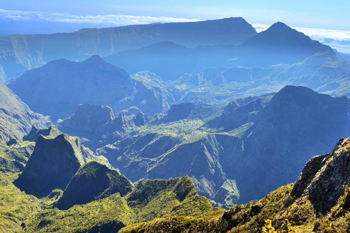
How big is Reunion Island in square kilometres, what are its exact dimensions, how does it compare with Corsica, Martinique or the Paris region, and where does everyone live? Here's all the island's geographic data, laid out simply.
Reunion Island looks small on a world map, but it packs in a diversity of landscapes comparable to a small continent: lagoon, savanna, primary forest, U-shaped cirques (vast natural amphitheatres), an active volcano, a summit at 3,070m. To plan a trip that covers that variety, see my complete guide to planning your trip and the 10-day itinerary.
I bring together more than 470 partner activities (helicopter, paragliding, hiking, whale-watching cruises, airport transfers...), a wide catalogue of hotels and gîtes to cover the island's 2,512 km², and dozens of practical guides. An independent site run by someone passionate about Reunion Island.
Reunion Island's official area stands at 2,512 km², according to INSEE and IGN data. The island forms an elongated ellipse oriented north-west/south-east, 70km along its long axis and 50km wide at its maximum. The coastline runs 207km and can be driven in a single day via the RN1 national road (west and south) and the RN2 (east and north).
This modest area is dominated by two volcanic massifs: Piton des Neiges in the north-west, a dormant volcano reaching 3,070m, and Piton de la Fournaise in the south-east, an active volcano at 2,632m. Together, they cover more than three-quarters of the island. The population therefore lives mainly on the narrow coastal strips and in the high-altitude central plains.
Average density works out at 346 residents/km² for 870,000 residents, about twice the mainland French average. But that figure masks a huge gap: central Saint-Denis exceeds 4,000 residents/km², while the Mafate cirque, accessible only on foot or by helicopter, has fewer than 5 residents/km².
The rest of this page details the key figures, a comparison with other islands and regions, the breakdown of the terrain, the main municipalitiesand the island's administrative status within the French Republic.
Area, dimensions, coastline, peak, municipalities and population. Six reference points to grasp the island's proportions at a glance.
IGN/INSEE data. The perimeter covers the 24 municipalities, excluding the exclusive economic zone.
North-west/south-east axis: 70km. Maximum width: 50km. A roughly oval shape.
A full loop of the island via the RN1 and RN2 national roads, along the entire coastal perimeter.
The summit of Piton des Neiges, the highest peak in the Indian Ocean and the highest point of any French overseas department.
Grouped into 5 inter-municipal bodies (TCO, CINOR, CIVIS, CASUD, CIREST) and 5 sub-regions.
2024 INSEE estimate. Average density of 346 residents/km², comparable to Brittany.
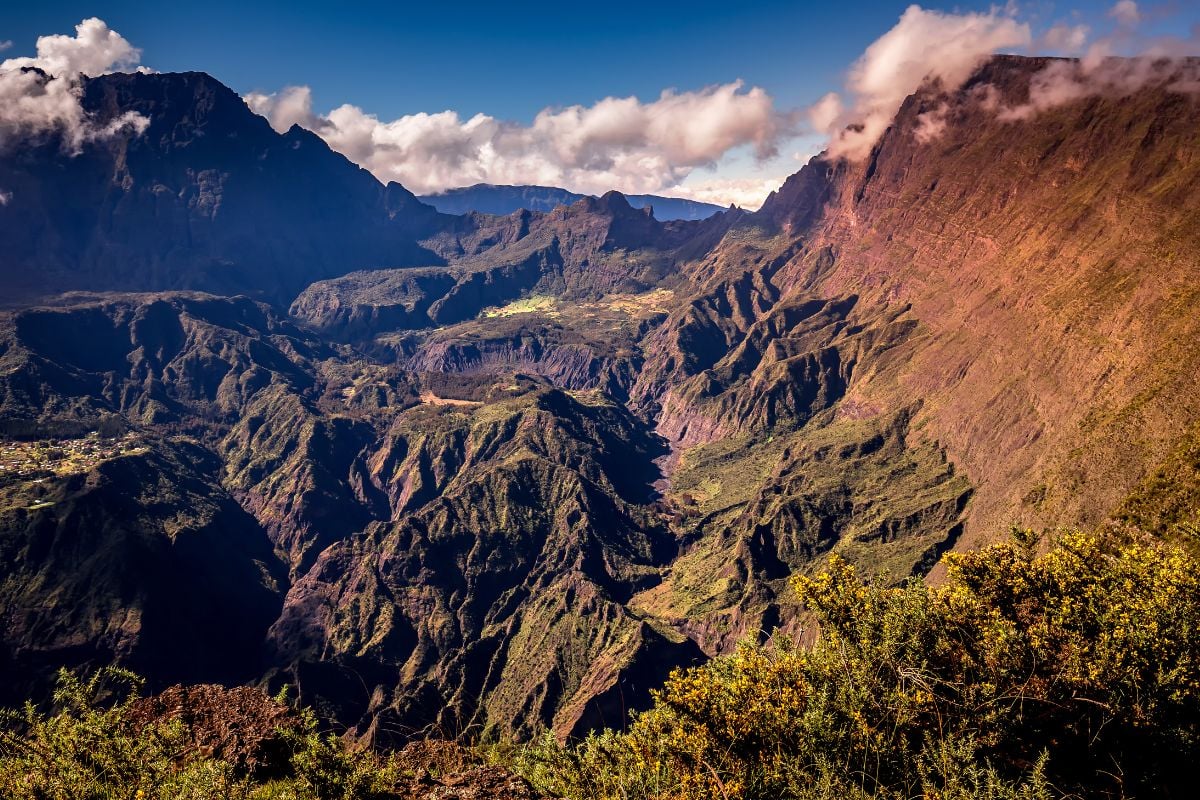
To put the island's size in perspective, here's its area ratio against ten reference points: other French overseas departments, an Indian Ocean neighbour, mainland regions.
A tropical island in the south-west Indian Ocean
The most comparable country in size
A neighbour 170km to the north-east, 23% smaller
A Caribbean French department, half the size
A Caribbean archipelago larger than Martinique
The smallest French overseas department, 7 times smaller than Reunion Island
A Mediterranean island, almost 3.5 times the size of Reunion Island
Mainland France's densest region
217 times larger; Reunion Island represents 0.46% of that area
The largest French overseas department, about 33 times the size of Reunion Island
| Territory | Area | Ratio vs Reunion Island | Note |
|---|---|---|---|
| Reunion Island | 2,512 km² | reference | A tropical island in the south-west Indian Ocean |
| Luxembourg | 2,586 km² | × 1.03 | The most comparable country in size |
| Mauritius | 2,040 km² | × 0.81 | A neighbour 170km to the north-east, 23% smaller |
| Martinique | 1,128 km² | × 0.45 | A Caribbean French department, half the size |
| Guadeloupe | 1,628 km² | × 0.65 | A Caribbean archipelago larger than Martinique |
| Mayotte | 374 km² | × 0.15 | The smallest French overseas department, 7 times smaller than Reunion Island |
| Corsica | 8,681 km² | × 3.45 | A Mediterranean island, almost 3.5 times the size of Reunion Island |
| Paris region (Île-de-France) | 12,011 km² | × 4.78 | Mainland France's densest region |
| Mainland France | 543,940 km² | × 217 | 217 times larger; Reunion Island represents 0.46% of that area |
| French Guiana | 83,534 km² | × 33 | The largest French overseas department, about 33 times the size of Reunion Island |
2024 INSEE data for French regions and overseas departments. For Mauritius and Luxembourg, sources are Statistics Mauritius and STATEC.
Across 2,512 km², the island breaks down into two imposing volcanic massifs, high-altitude central plains and inhabited coastal strips.
A dormant volcano forming the north-west of the island. It includes the three cirques (Cilaos, Mafate, Salazie), carved out by erosion over two million years. The summit reaches 3,070m. The drop to the sea happens over just 25km as the crow flies, an average gradient of more than 12%.
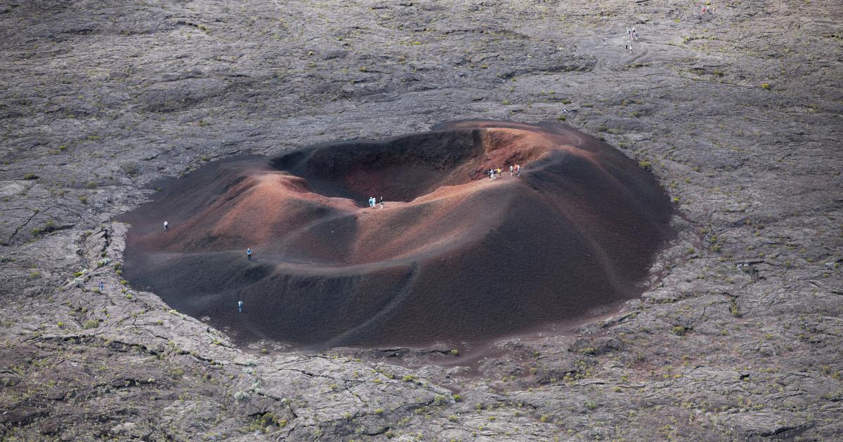
An active volcano occupying the south-east. Its summit stands at 2,632m, a dome built up by 250 recorded historical eruptions since 1640. The Enclos Fouqué descends towards the ocean as far as Pointe du Tremblet, where each major eruption occasionally extends the shoreline by a few hectares.
Plaine des Cafres and Plaine des Palmistes, between 1,200 and 1,600m altitude. They link the two massifs and are around ten kilometres wide. Expect a temperate climate, cattle farming, market gardening and the stopover town of Bourg-Murat on the road to the volcano.
Narrow coastal strips where most of the population lives. The widest plain (Saint-Denis to Saint-André, an average of 18km by 4km) is home to a third of all Reunion Islanders on its own. The west coast has only a thin habitable strip between the ocean and the first foothills.
The island has 24 municipalities in total. Here are the six most populous, home to nearly 530,000 of the island's 870,000 residents on their own.
The region and department's administrative capital, home to the prefecture, the university and the main hospital. Density exceeds 1,000 residents/km² in the colonial-era town centre. The municipality stretches from the sea to the Roche Écrite massif at 2,277m.
The first town founded by the French, in the 17th century, and the second most populous municipality. It covers a coastal strip running from La Possession to south of La Saline, and climbs up to the Maïdo at 2,200m altitude.
The economic capital of the south and the third most populous municipality. It has a commercial port, a university and a regional hospital, plus a lively seafront, the Ravine Blanche district, and a Sunday market recognised as the island's largest.
A municipality in the Hauts (highlands) that climbs from the coast up to Plaine des Cafres at 1,600m, with an agricultural market and a cooler climate than the coast. Known for its gardens, its fruit growing and its social sciences university campus.
The island's Tamil heart, with Thursday and Saturday markets, colourful temples, sugar-cane plains and a strong tradition of cane and vanilla growing. One of the densest municipalities (more than 1,000 residents/km²).
The gateway to Cilaos via the famous road with 420 hairpin bends. It has the historic Gol sugar refinery (still operating), a 19th-century mosque and the Cascade des Aigrettes waterfall. A mixed population of Creole, Indian and African descent.
For more on the island's towns, see my guides to Saint-Denis, Saint-Pierre, Saint-Leu or the Explore Reunion Island by location page.
Institutionally, Reunion Island is simultaneously a department, a region and an outermost territory of the European Union.
Reunion Island became a French department on 19 March 1946, through the departmentalisation law, at the same time as Martinique, Guadeloupe and French Guiana. It's designated by postcode 974, which is also its INSEE code.
Since 1982, Reunion Island has also been a French region. Like Martinique, Guadeloupe and French Guiana, it's described as a single-department region: the regional council and the departmental council coexist over the same territory.
Reunion Island is one of the nine outermost regions (OMRs) of the European Union. As such, the island receives ERDF, ESF and EAFRD structural funds, and the euro is legal tender there, as across the rest of the eurozone.
A quick clarification: Reunion Island is a French overseas department and region (DROM in French), not an overseas territory (the old TOM status). TOM status disappeared with the 2003 constitutional revision, replaced by overseas collectivities (COM: French Polynesia, Saint-Barthélemy, Saint-Martin, Saint-Pierre-et-Miquelon, Wallis-et-Futuna) and special statuses (New Caledonia, the French Southern and Antarctic Lands). For the full picture, see my page on Reunion Island: department or overseas territory?
Three references used by public authorities and research institutes for official figures on area, population and terrain.
Page updated in October 2026.