Mobile tools · Reunion Island

Best hiking and wild-camping apps for Reunion Island

Randopitons, Visorando, Sous les Étoiles 974, Météo-France, Info Route: 8 apps tested for planning a hike, following a trail offline, finding a wild-camping spot and keeping ahead of local weather.

8 apps testedRandopitons my #1Free for 6 out of 8

Reunion Island has plenty of trails (≈1,000km waymarked by the National Park), conditions change fast, and mobile signal disappears the moment you head into the cirques or onto the Plaine des Sables. A good offline hiking app and Météo-France Réunion are essential before any outing.

Here are the 8 apps I actually use out on the trail, tested on outings to Mafate, Piton des Neiges, Bras Rouge and the volcano road. With their strengths and limits, plus a recommended combo at the end of the article.

Recommended combo

The ideal pack for a hike

1
Randopitons

Choose the trail, check the open/closed status, download the track.

2
Visorando or Maps.me

Offline maps for GPS tracking in areas with no signal.

3
Météo-France Réunion

Warnings, forecasts by town, a 24-hour rainfall radar.

4
Info Route 974

Road closures, cyclone alerts, access to the volcano road.

Comparison

The 8 apps tested

App 01HikingFreeLocal reference

Randopitons

By GO Sport / Hugues N. · 4.5/5 ★ · ≈ 50,000 downloads

The undisputed local reference. Over 600 documented hikes across the island, GPS tracks, photos, elevation profiles, difficulty levels, real-time open/closed trail status. Maintained by a passionate Reunion Island hiker, an open database (randopitons.re).

Strengths

Comprehensive island-wide coverage, regularly updated with closure orders, an active community, on-the-ground photos. Used by the vast majority of keen hikers in Reunion Island (95%).

Drawbacks

The interface feels a bit dated next to international apps. French-language content only. Offline functionality could be better in some areas.
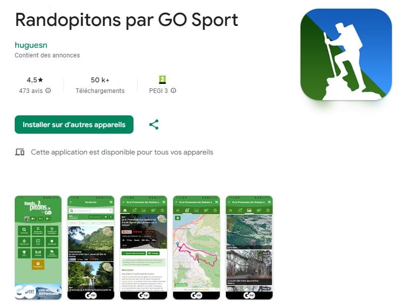
A Google Play screenshot of the Randopitons app by GO Sport, 4.5-star rating and 50,000+ downloads
App 02HikingFreemium

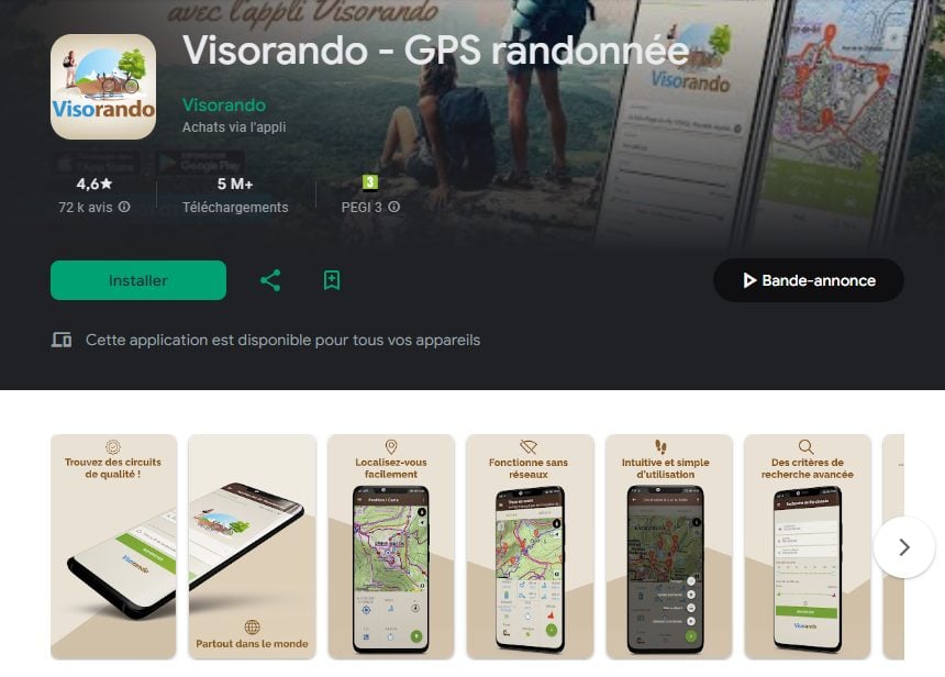
Visorando: GPS Hiking

By Visorando · 4.6/5 ★ · ≈ 5 million downloads

The most used hiking app in France (mainland plus overseas). Decent Reunion Island coverage, though less comprehensive than Randopitons. A very polished interface, downloadable offline tracks, route sharing, a very active community.

Strengths

Reliable offline downloads, precise GPS tracking, route sharing, clean usability. Ideal if you already use it in mainland France.

Drawbacks

Not the local reference. Good Reunion Island coverage, but not as rich as Randopitons. Premium features (unlimited offline, IGN maps) cost extra (≈€25/year).

A Google Play screenshot of the Visorando GPS hiking app, 4.6 stars and 5 million downloads
App 03Wild campingFreeDedicated to wild camping

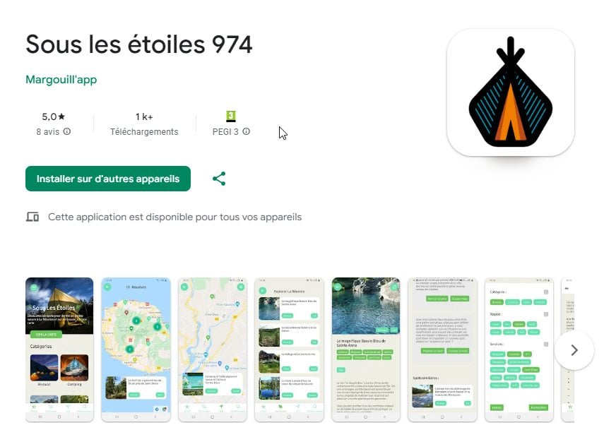
Sous les Étoiles 974

By Margouill'app · 5/5 ★ · ≈ 1,000 downloads

The app dedicated to wild-camping, camping and unusual-stay spots in Reunion Island. An interactive map, spot listings with photos, facilities, reviews. Recently launched, a growing database, covering the main spots in the west, south and highlands.

Strengths

The only app specialising in wild camping in Reunion Island. Precise filters (seaside, highlands, facilities), on-the-ground photos, a Creole feel.

Drawbacks

Recent and still not widely known (1,000 downloads), with gaps to fill in some areas (the inner cirques, Mafate). Best used alongside Randopitons.

A Google Play screenshot of the Sous les Étoiles 974 app by Margouill'app, 5 stars, dedicated to wild camping and spots
App 04TourismFree

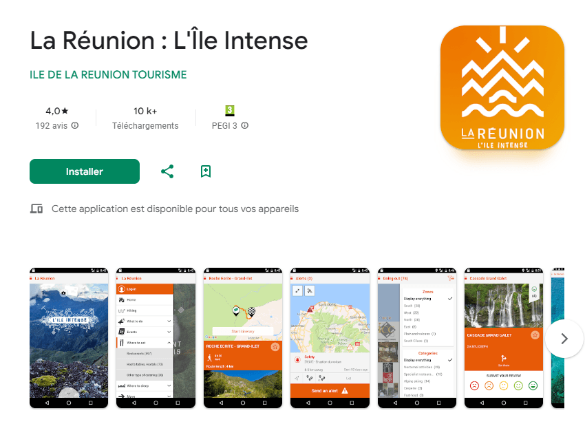
La Réunion · L'Île Intense

By Île de La Réunion Tourisme (IRT) · 4.0/5 ★ · ≈ 10,000 downloads

The official app of Reunion Island's Tourist Office. Accommodation, restaurants, activities, a cultural calendar, points of interest. More of a general-purpose app than a hiking-specific one, but useful for planning a full trip.

Strengths

Official, moderated content, a solid events calendar (local festivals, concerts, markets).

Drawbacks

A fairly standard interface, no advantage over Randopitons for hiking. Tourism content is sometimes out of date.

A Google Play screenshot of the La Réunion L'Île Intense app by IRT, the official tourism app
App 05WeatherFree

Météo France Réunion

By Météo-France · 4.4/5 ★ · ≈ 1 million (FR app)

Essential. 7-day forecasts by town, cyclone and heavy-rain warnings, real-time rainfall radar. Data straight from Météo-France Réunion (Saint-Denis station).

Strengths

Local precision (distinguishing coast/highlands, east/west), official warnings, free.

Drawbacks

Not hiking-specific (no forecasts by mountain zone).

App 06MappingFree

Maps.me (offline maps)

By MAPS.ME · 4.4/5 ★ · ≈ 100 million

Downloadable offline OpenStreetMap maps. Covers the entire National Park trail network in Reunion Island, best paired with a Randopitons or Visorando track. Essential in areas with no signal (Mafate, Plaine des Sables).

Strengths

Fully offline, rich OSM data, no zone limits, free.

Drawbacks

No GPS auto-tracking like Visorando. Better used as a base map than as a full hiking app.

App 07HikingFreemium

AllTrails

By AllTrails LLC · 4.7/5 ★ · ≈ 50 million

The leading American app worldwide. Decent Reunion Island coverage on the major trails (Piton des Neiges, Mafate, Trou de Fer). A premium interface, community photos, detailed reviews.

Strengths

Beautiful on-the-ground photos, community reviews, an offline mode (premium), a flawless mobile interface.

Drawbacks

The offline feature is limited to AllTrails+ (≈€35/year). Reunion Island coverage isn't as comprehensive as Randopitons.

App 08TourismFree

Info Route 974 (DRR)

By Région Réunion · 4.1/5 ★ · ≈ 50,000

The official app of the Regional Roads Authority. Real-time traffic conditions on the N1, N2, N3 and the volcano road. Closure alerts for cyclones, landslides and roadworks.

Strengths

Official, real-time closure alerts, vital after heavy rain or during cyclone season.

Drawbacks

Very functional, with little editorial content. Best used alongside a maps app.

Before any outing

Check the trail status

Randopitons and ONF Réunion publish real-time trail status (open, closed, partially passable). After a cyclone or heavy rain, some trails stay closed for several weeks.

See the Cilaos hikes
Frequently asked questions

Hiking apps for Reunion Island, in practice

What's the best hiking app for Reunion Island?
Randopitons by GO Sport, without a doubt. It's the local reference (4.5/5, ≈50,000 downloads), maintained by a Reunion Island hiker, with over 600 documented hikes and real-time open/closed trail status. Essential. Pair it with Visorando for offline GPS features and Météo-France Réunion for forecasts.
Is there an app for wild camping in Reunion Island?
Sous les Étoiles 974 (by Margouill'app) is the island's dedicated wild-camping and campsite app. An interactive map, spot listings with photos and facilities. Recent but growing. Use it alongside Randopitons for the approach hike.
Which app tells you if a trail is open or closed?
Randopitons shows the real-time status of each trail (open, closed, partially passable). Cross-check with the official ONF Réunion website (reunion.onf.fr), which publishes closure orders after cyclones, landslides or roadworks. Check the evening before you set off.
Do you need an offline GPS app in Reunion Island?
Yes, essential in Mafate, on the Plaine des Sables, and deep in the cirques where there's no mobile signal. Maps.me (OSM maps) or Visorando premium allow offline downloads. Load the maps the evening before, over wifi.
Which app is best for mountain weather?
Météo-France Réunion gives forecasts by town and official warnings (cyclones, heavy rain). For weather at altitude (the cirques, Piton des Neiges), cross-check with Mountain-forecast.com or Windy.com, which model mountain microclimates better. Allow for some uncertainty beyond 48-72 hours.
How much do hiking apps cost?
Free for Randopitons, Météo-France, Sous les Étoiles 974 and Info Route. Freemium for Visorando (≈€25/year for unlimited offline and IGN maps) and AllTrails (≈€35/year for premium features). For a 2-3 week trip, the free version of Visorando is enough alongside Randopitons.
Should you download several apps?
Yes, ideally 3-4: Randopitons (local reference), Météo-France Réunion (warnings), Maps.me or Visorando (offline), Info Route (road closures). For wild camping, add Sous les Étoiles 974. Expect to use ≈200-500MB of storage depending on the maps downloaded.
Do the apps work in Mafate?
With no mobile signal, only offline features work. Download tracks and maps from Saint-Gilles or Cilaos before entering Mafate. Your phone's GPS works without a network (satellite signal), so tracking stays active on Maps.me, offline Visorando, and downloaded Randopitons tracks. Bring a spare battery (GPS drains power fast).
Go further

Keep reading

Article last updated 18 September 2026.